September 15, 2019
Little Pete Meadow to Upper Palisade Lake
Day miles: 13 mi
Cumulative miles: 129.3 mi
Was out of camp by 7 am and, chased by mosquitoes, made it 8 miles by 11 am, including a stretch break and a second poop!

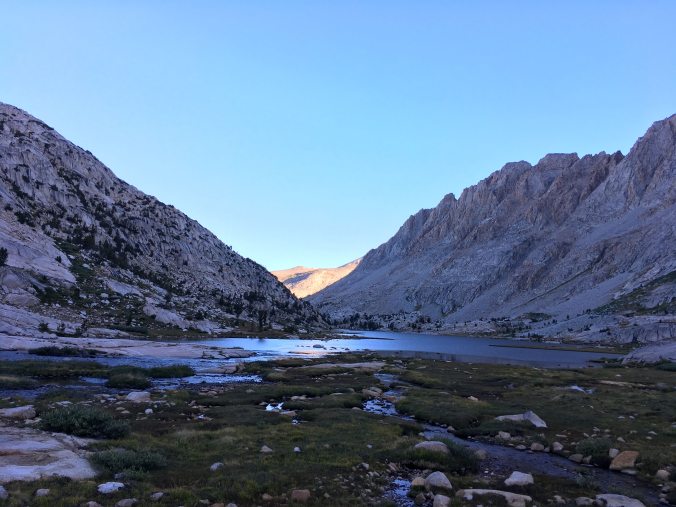
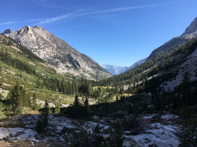
Sunrise in Le Conte Canyon

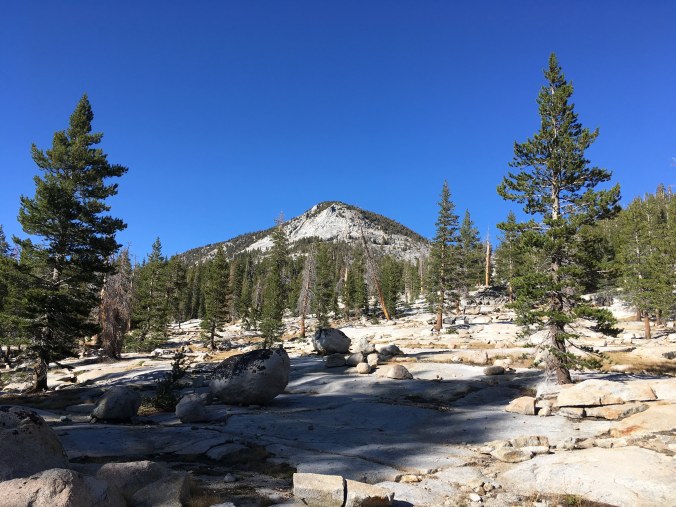
Langille Peak

The Citadel
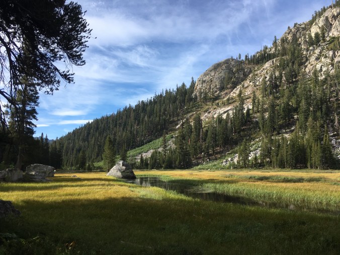
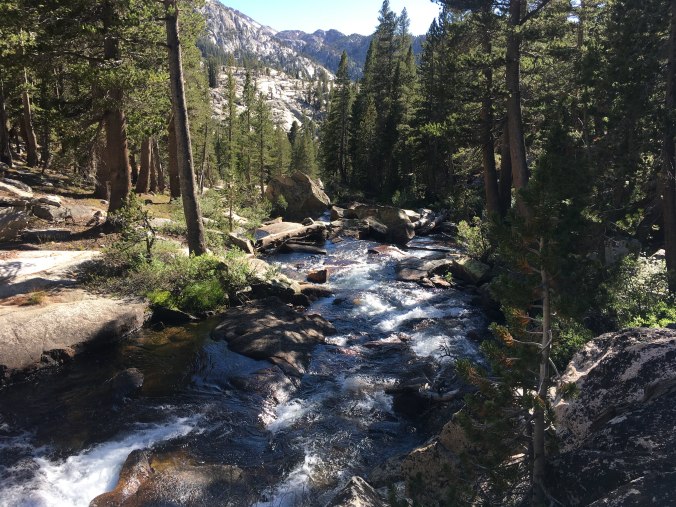
Grouse Meadow
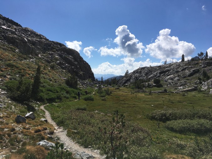
Deer Meadow
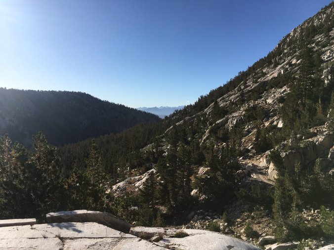
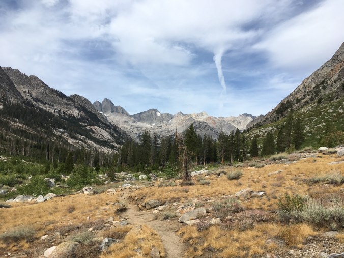
Early in the day there are a few wisps of rippling clouds in the sky, that a Mammoth local informs me are called “mares’ tails” and usually indicate that precipitation is on its way. It’s been perfect blue skies for the last 10 days. What is rain? By the time I reach the Golden Staircase, the sky is fully overcast. After the mosquito-filled meadows and forests, the rocky, exposed, dry Golden Staircase is actually a welcome respite. No mosquitoes! A breeze! And the cloudy skies mean that it never gets too hot. I power past a group of college-aged beginner backpackers who are clearly struggling.
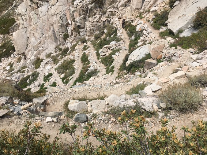
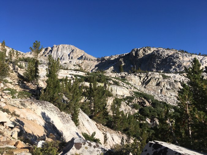
Impressively tidy and well-graded switch backs of the Golden Staircase, unobtrusively tucked into a rock wall, seamlessly traversing from one gully to the next. When you look up you can’t quite see where it is going, or it seems to disappear, but when you are on it you can climb the 1500 feet steadily at a constant pace, and it’s actually quite pleasant. This was the last section of the JMT to be completed in 1938.

Almost at the top!
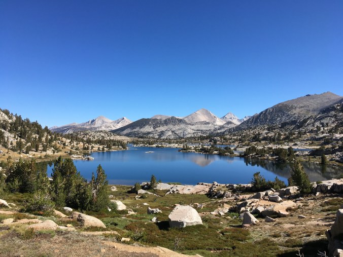
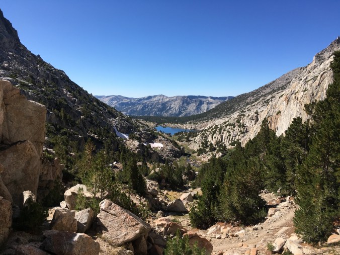
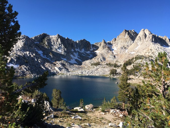
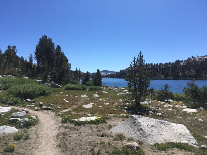
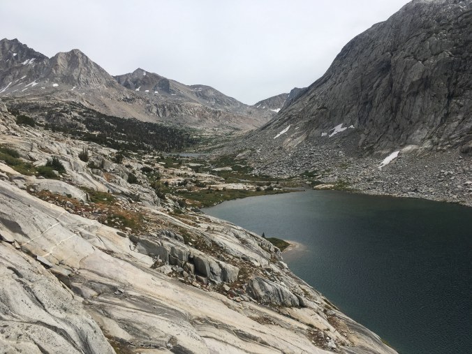
I reach Lower Palisade Lake around 2 pm and the obvious camp spots around Upper Palisade Lake by 2:30. Seems too early to stop for the day, so I contemplate going over Mather Pass and camping at one of the tarns on the other side. As I am looking for a water source to refill my water before attempting to go over the pass, I spot a single sheltered tentsite with a beautiful view of the lake in the last copse of whitebark pines before everything becomes ground hugging shrubs and granite. I continue on, but as I filter some water at a small trickle of a stream along the trail the wind picks up. I chicken out of climbing Mather and backtrack to claim that tent site, the last campsite that is not completely exposed for miles. I still have tomorrow or the day after to do a long day where I climb over two passes in one day.
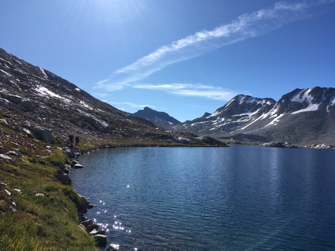
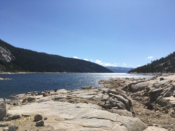
Lower and Upper Palisade Lakes. There are Palisades Lakes near when I live in Idaho too, so I looked up what a “palisade” is. “Palisade” originally means a defensive wall made of steel or wooden stakes (think fort or stockade), but is a common name for cliffs (especially columnar basalt) abutting a body of water, e.g. the Palisades along Hudson River in New York and New Jersey.

Mather Pass
With all the hemming and hawing about Mather, it’s about 3:30 when I set up camp but still quite early. The sun comes out. I go back to the water source and do a bit of washing, hoping it will dry before dark, but by 4 pm the sun is weak and it’s noticeably cooler. I enjoy my dinner and journal in the last rays of the sun while perched on a rock overlooking Upper Palisade Lake, and go to sleep with my damp clothes tucked into my sleeping bag so that my body heat will finish drying them overnight.

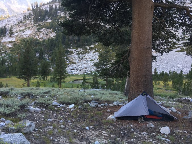
Upper Palisade Lake — my tent is tucked in the trees to the right