Ah, springtime in Tokyo. The time of the year when you seek an easy weekend day hike to get a nice view of Mt. Fuji while it still has a snow cap. I hiked Seihachiyama (清八山) with friends on May 20 and it was the best view of Mt. Fuji I have ever seen. Unlike a lot of day hikes from Tokyo that purport to offer a Fuji view, the view from Seihachiyama is completely unobstructed. Besides the killer views, what I liked about this hike is it is accessible directly from a train station, the trail is well-graded for a Japanese trail and it was not crowded at all. Unlike the Okutama area, the Otsuki area in Yamanashi on the Chuo Line apparently offers enough hiking options so that hikers coming on the morning trains from Tokyo are well-dispersed even on Saturday. (Our same group hiked Mt. Takagawa (高川山) from Hatsukari Station (初狩駅) to Otsuki Station (大月駅) last April.) It’s definitely my favorite area for day hikes from Tokyo now.
This is the hike I would take friends visiting from abroad on if they say they want to see Mt. Fuji. (I will also offer it as an alternative for those poor misguided visitors who want to climb Mt. Fuji. Please read “Why You Should Never Climb Mount Fuji” if you still need to disabuse yourself of any romantic notions of climbing Mt. Fuji.)
Access: The hike begins and ends at Sasago Station (笹子駅) on the JR Chuo Line. We took a Chuo Line rapid from Shinjuku Station which departed Shinjuku at 7:07AM and arrived at Sasago at 8:59AM, which places this hike squarely in the range of within 2 hours from Tokyo.
Distance: 13 km
Time: 6-7 hours at a comfortable, not-rushed pace. (No need to rush because trains are reasonably frequent from Sasago Station.)
Difficulty: Easy. Trail is well maintained, pretty soft and flat underfoot and there are no rocky scrambles except the last few feet leading to the top of Honjagamaru. Last part of the trail coming down was a bit steep since it often seems like Japanese trail crews have not heard of “switchbacks” so wear proper footwear for traction and ankle support.
Map: This map is a photo of the trail map in front of Sasago Station. Red arrow marks Sasago Station.

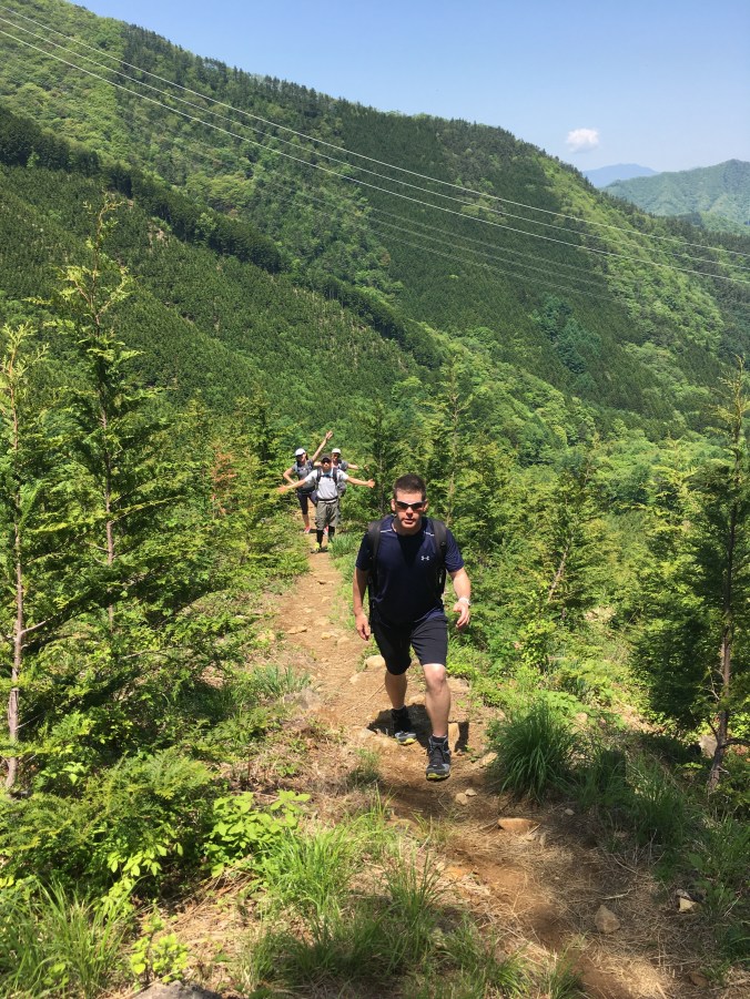
The Hike: We basically followed this plan from Yamareco: https://www.yamareco.com/modules/yamareco/detail-365365.html. Starting from Sasago Station, we went west along the Route 20, turned left after crossing Jinego River, went through Oiwake Tunnel and walked up the forest road past a power station to the trailhead. At the trailhead, there was a fence with a net entrance you had to untie and open and close and retie behind you to prevent deer from entering an area where they are trying to restore vegetation. Then it’s a straightforward uphill to the top of Seihachiyama (1593m). We took a leisurely lunch on the top to enjoy the view. After the peak, the trail follows the top of a ridge to Honjagamaru (1630.8m) and then starts a mellow descent through some nice shady woods. While you follow the ridge, the trail is really nice, easy walking. Then, we forked left back towards Sasago Station, crossed a forest road, and continued down a soft but somewhat steep trail to the station.
Onsen: There is a public day onsen facility Sasago Onsen (笹子温泉) near where we turned off Route 20 to begin the hike. We didn’t have time to check it out since some of us had to boost back to Tokyo.
Photos:

The hike begins among idyllic Yamanashi inaka
After the forest road, there is a forest restoration area that is fenced off from deer. The short trees in this area give you an alpine feel and great views of the surrounding mountains.

Postcard view of Mt. Fuji from the top of Seihachiyama (1593m)

View of Mt. Fuji from another lookout just 15 min beyond the peak of Seihachiyama
