September 23, 2019
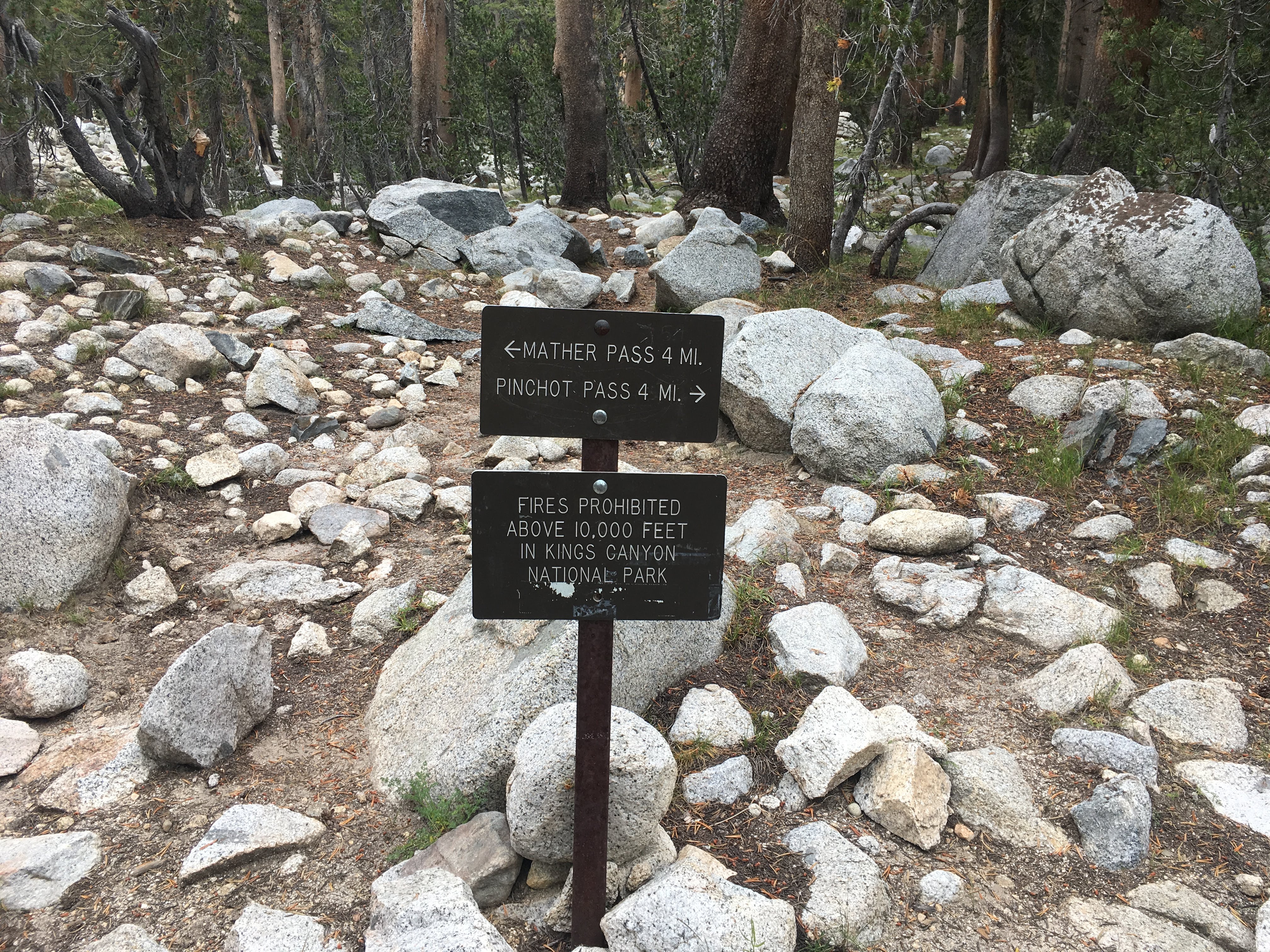
Guitar Lake to Whitney Portal
Day miles: 15 mi
Cumulative miles: 215.5 mi
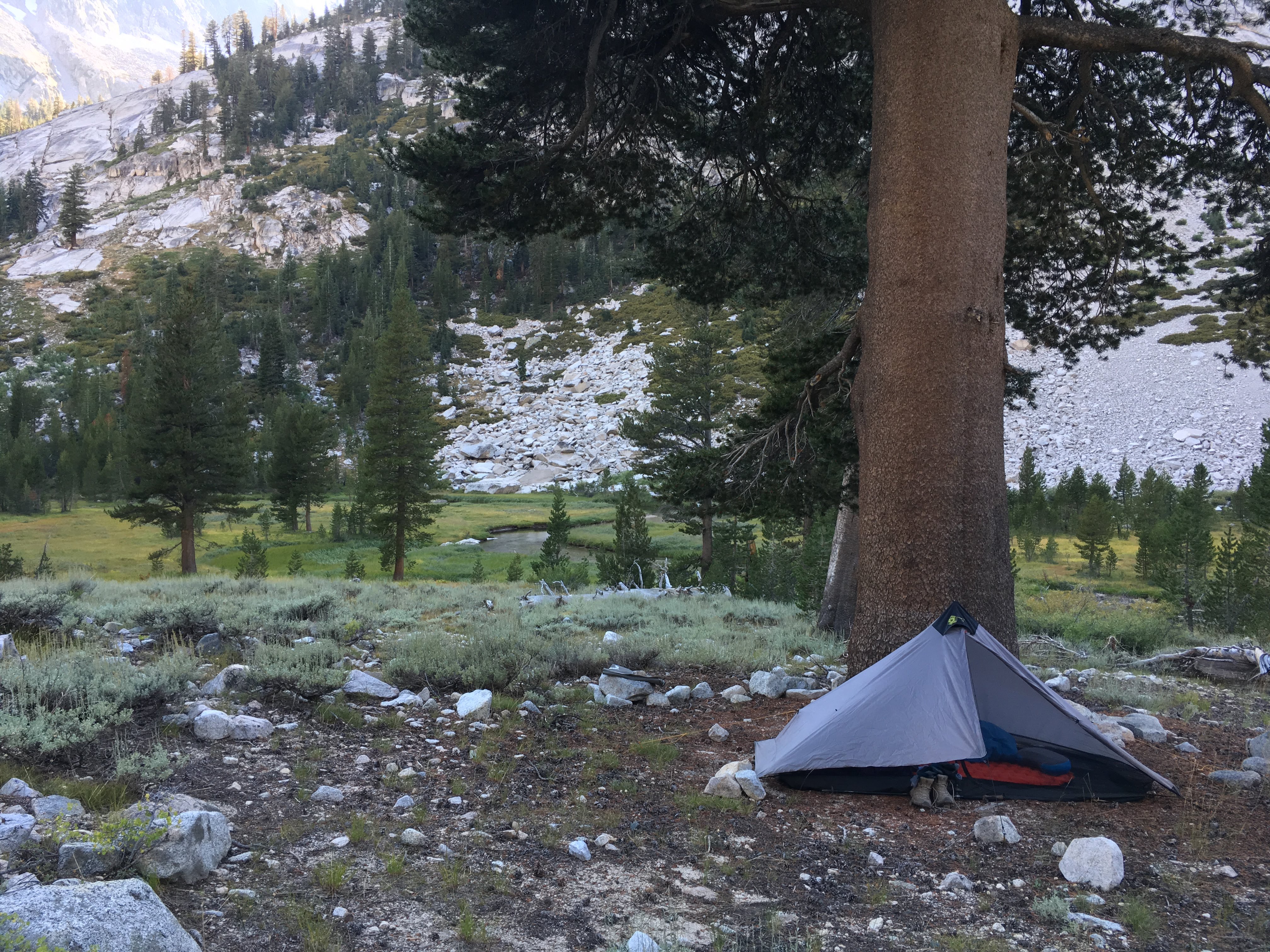
My alarm is set for 1:30 but I wake up at 1 AM to the sound of trekking poles clicking. I snooze until my alarm rings and promptly get up to pee and pack up. I made coffee before bed and put it in my thermos in my mostly empty bear can, and I went to sleep wearing my hiking clothes. I pack a little differently since I am wearing my puffy and long johns and pack a summit pack on top of everything. Inside my little Montbell Versalite pack are an emergency blanket, my rain pants and rain jacket, extra batteries for my head lamp, snacks and my coffee for the summit.
I start hiking around 2 AM. I start the climb but soon lose the trail because the light of my headlamp is too faint. The batteries are dying. I change the batteries and remedy the situation. (Side note: I hate the Black Diamond Spot headlamp I have. It has too many functions so the “smart” multi-touch control is not intuitive and despite a battery lock function to prevent it from turning on by accident in your pack, it seems to drain battery very quickly. I don’t use a headlamp often, and when I do it’s for reading or writing inside my tent at low brightness, but I always seem have to change the batteries in pitch black whenever I actually need to use the headlamp for night hiking.)
It does not feel cold when I wake up, maybe because I am already wearing my pant and puffy jacket, and maybe because the air is still cooling down from daytime. Right before the sun comes up is when the temperature is the coldest. As I hike I quickly delayer. I marvel at how absurd it is to be hiking at 12,000 ft in the middle of the night in a T-shirt. But as I climb higher the temperature drops and I re-layer. Occasionally, I see the light of headlamps that could be mistaken for stars, bobbing slightly and moving across the dark night above me.
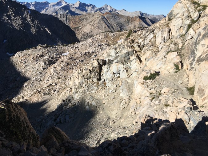
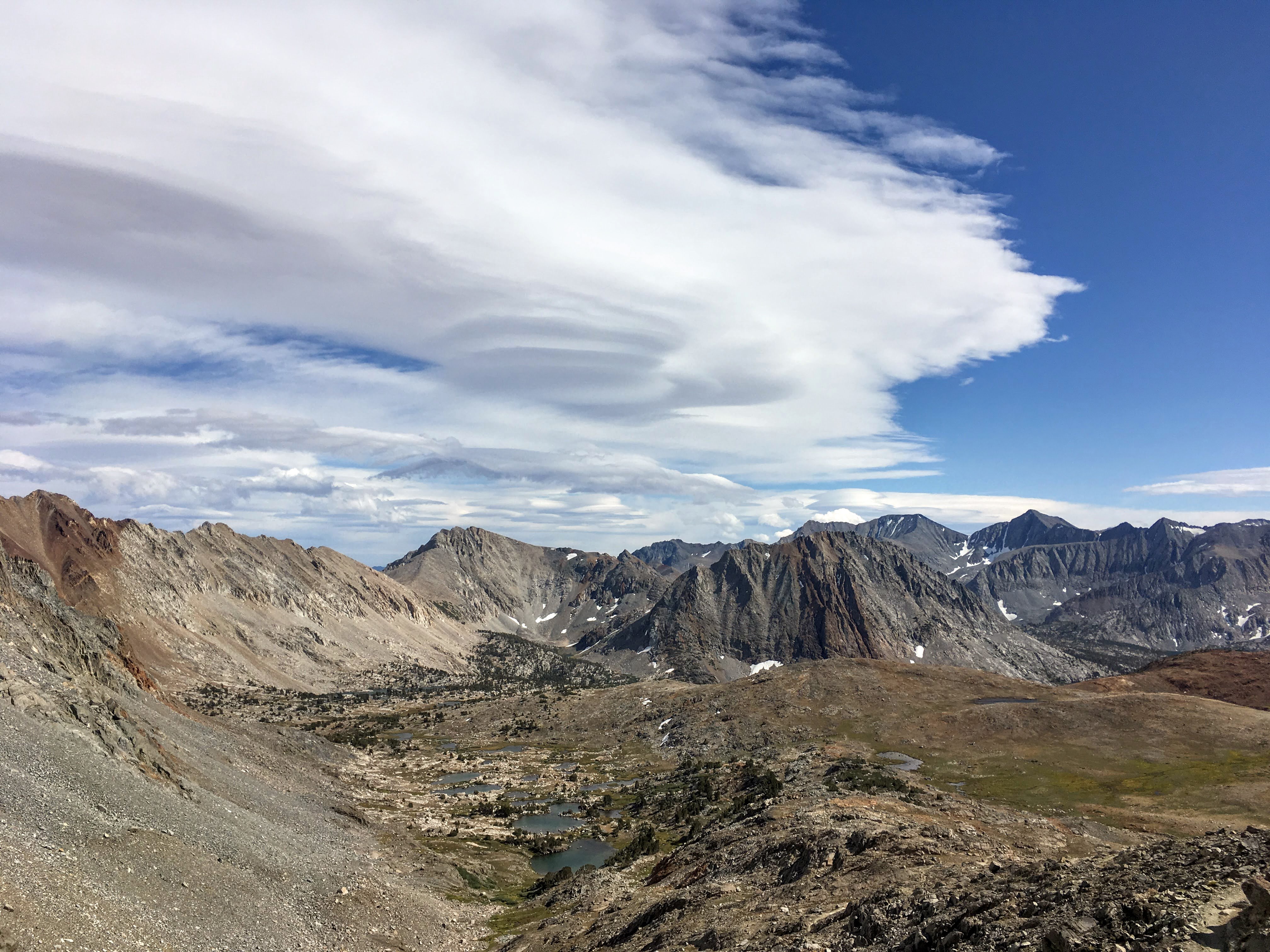
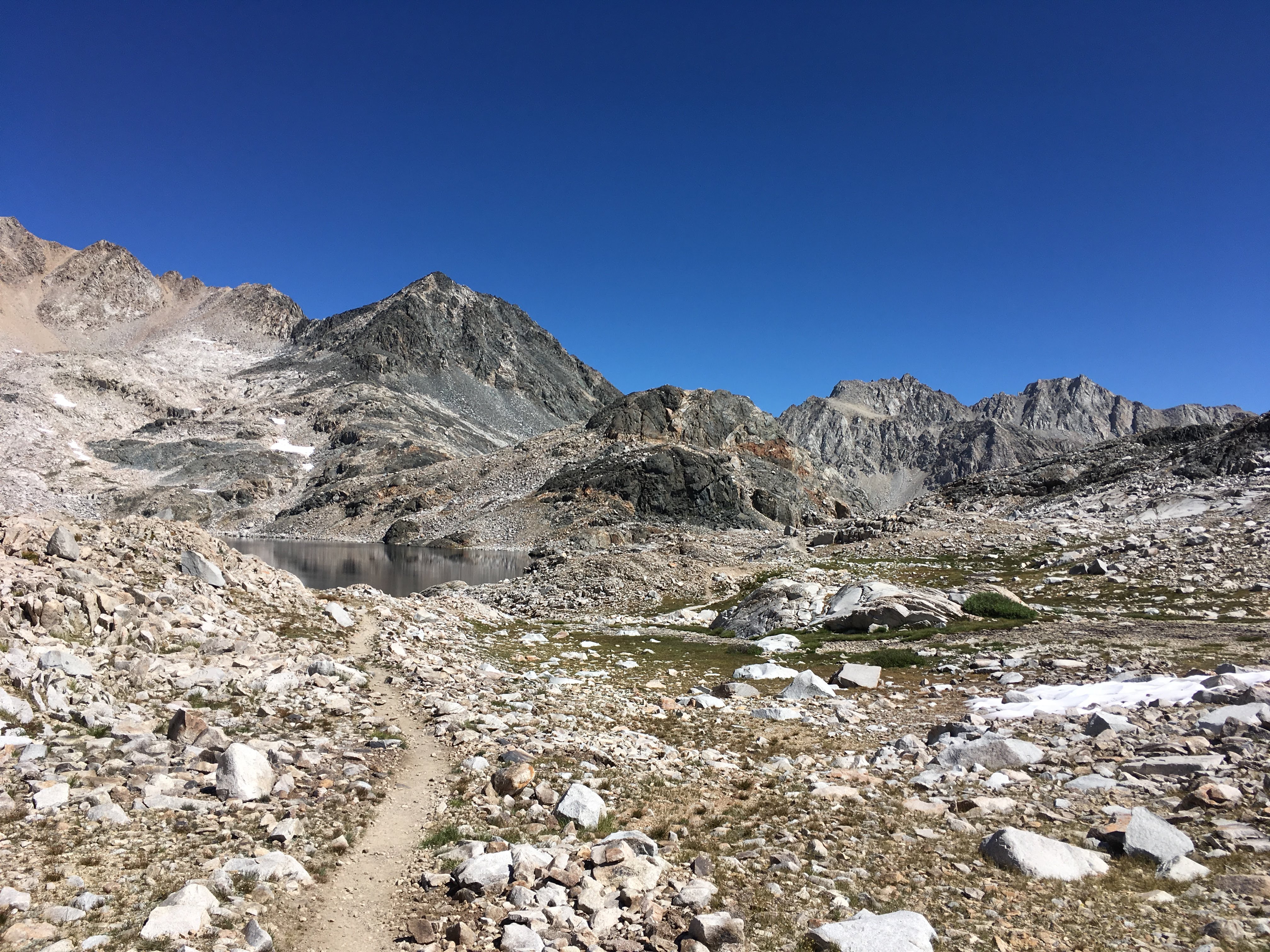
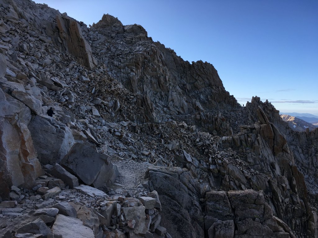
It gets so cold that I stop to put away my trekking poles so I can put my hands in my puffy jacket pockets. My wool glove liners are inadequate. And then suddenly I am at Whitney Junction. It is just after 4 AM. Taking my summit pack, I head up the 1.9 mile trail to Whitney summit. The summit pack feels so light I check a couple times to make sure I remembered to bring my water bottle. The trail skirts the west side of the ridge and is full of large boulders. These must be from the many rockfalls/rock slides that have occurred over the last hundred years. We don’t do trail building like we used to (during the Great Depression). When the trail becomes unclear, I sweep the surroundings with my headlamp and always manage to find it again.
Surprisingly, no one passes me the entire climb up the Whitney trail, though I did see some headlamps bobbing below me. Finally, my headlamp reflects off a white granite wall of the Whitney Summit Shelter. I switch my headlamp light to red and stumble inside. Inside are five other people freezing their asses off. Three of them had the foresight to bring their sleeping bags and they still look cold. It is 5:40 AM. The horizon is beginning to glow. I put on my rain pants and rain jacket over my hiking clothes and sip my coffee, which is still pretty warm but doesn’t seem to have any effect warming me up.
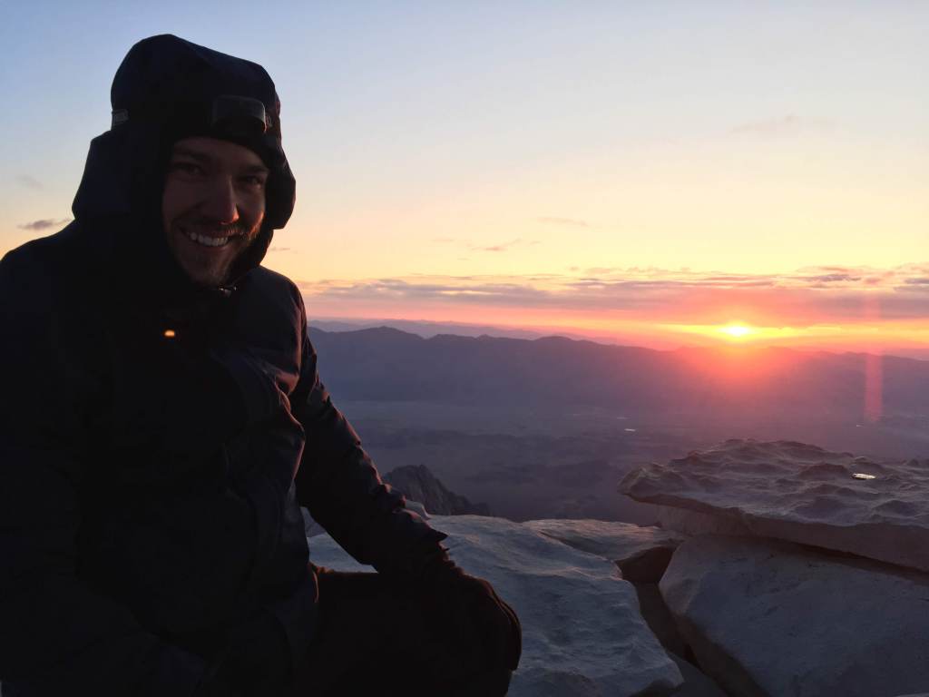
When we can see light through the window, we all head outside to watch. I sit on my Thinlight foam pad folded into a sit pad to insulate me from the cold granite but it still gets really cold, so I pull out my emergency blanket. It is unwieldy because it is so windy on the summit, but I gradually manage to gather it around me and it does help. But after a while my toes still get so painfully cold I give up and go back to the shelter to rewarm, jumping up and down out of the wind. I meet another solo JMT hiker, Justin, who comes in to warm his hands by doing pushups. His phone is dead, so when we head back out and the sun does come up, I take some photos to send him and he takes some of me in return.


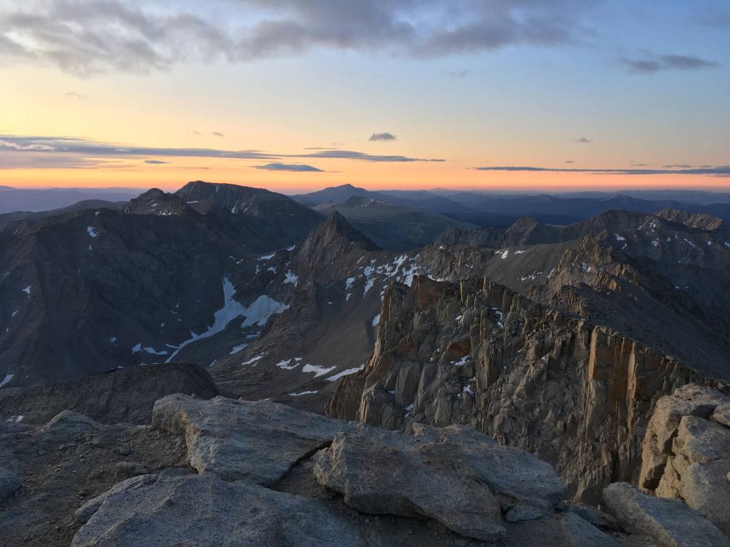
Southeast view – Keeler Needle and Mt. Muir on the right; pointy peak in the middle is Mt. McAdie; behind that the hump shaped mountain is Mt. Langley
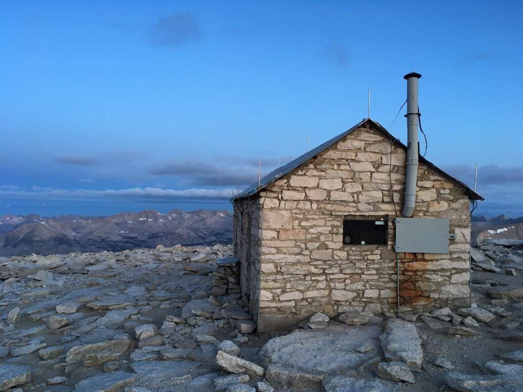
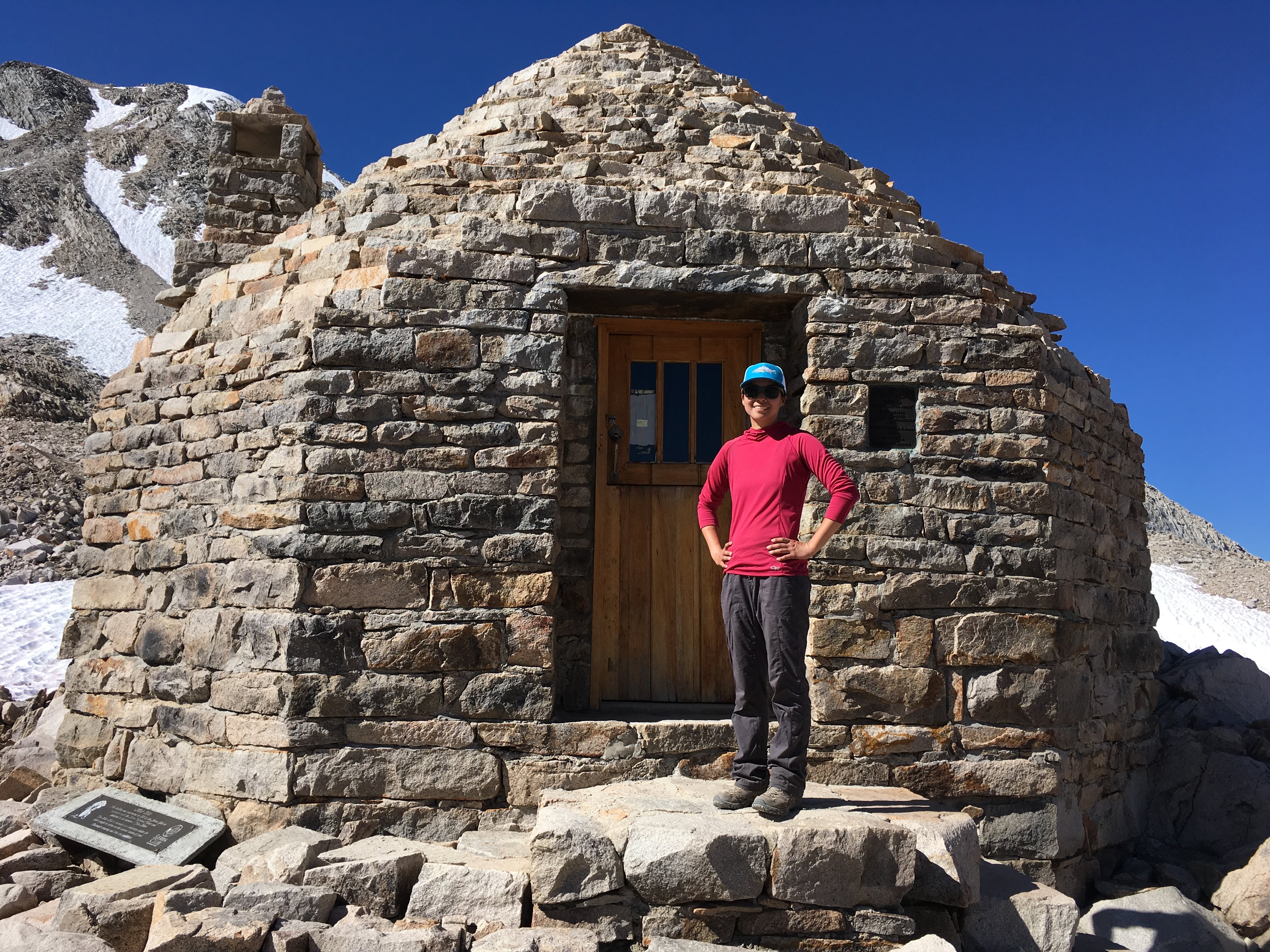
Smithsonian Institution Shelter
There is a sheet of clouds over the mountains to the east across the Owens Valley making the sunrise dramatic. The Sierras light up in light gray behind us. It is too cold to take many photos or watch for too long, so everyone heads back into the hut to rewarm. I eat my breakfast Probar while trying to recover feeling (besides pain) in my fingers and toes. Justin takes a great photo of this, not flattering but real.

Surrounded by people standing upright in their sleeping bags
I sign the summit register, but it’s almost too cold to write. The pen is nearly frozen and my hands are shaky. I don’t remember what I wrote. I begin to head back down at 7 AM. At the junction, I repack and switch to dry socks to warm my feet. Everyone seems slightly shell-shocked. After a bit, one group leaves and we all overhear a member of the group go “Why is there another uphill?”

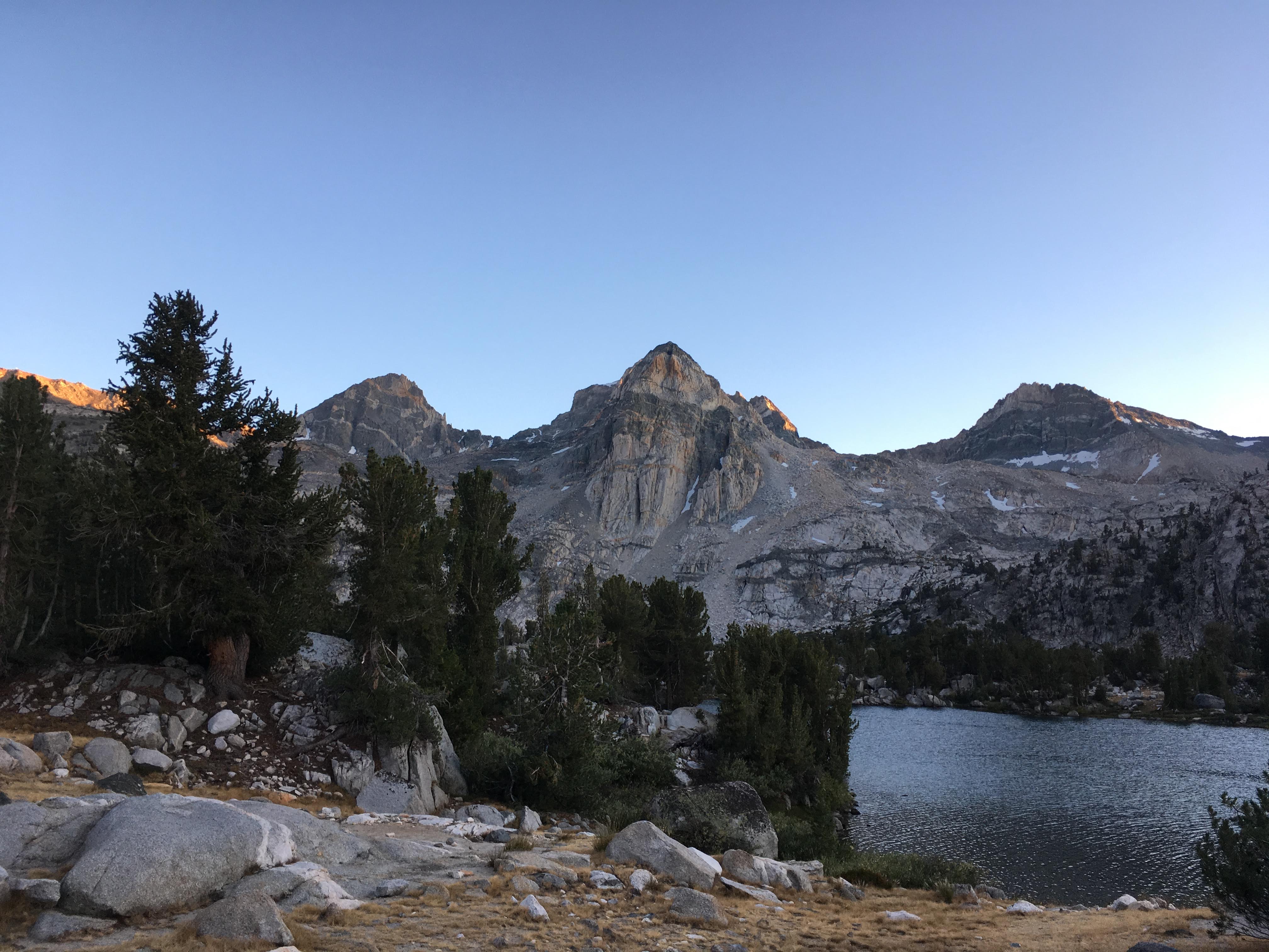
Southwest view — Flying buttresses of Mt. Hitchcock and Hitchcock Lakes below

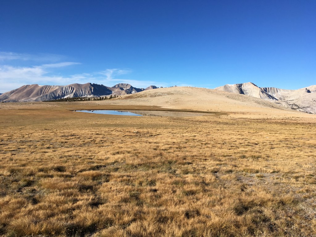
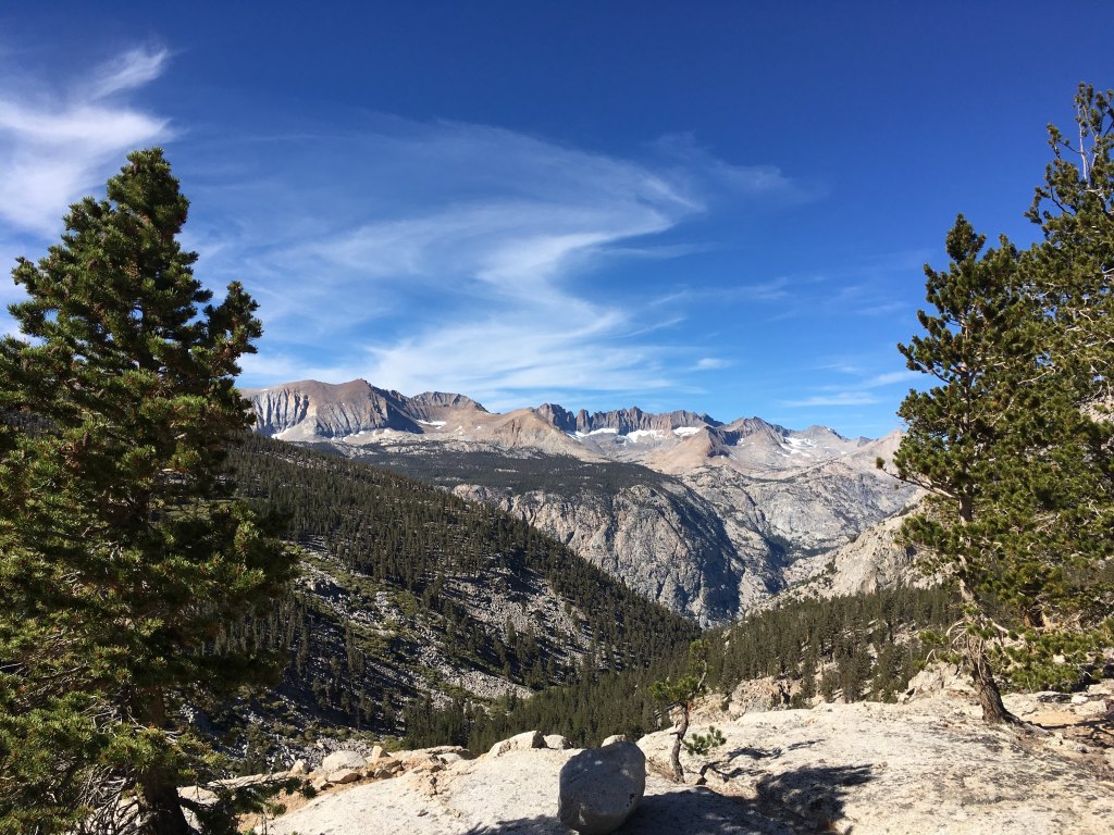
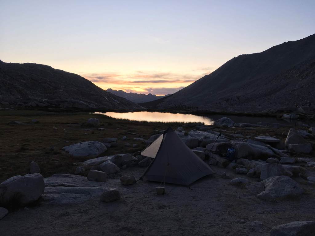
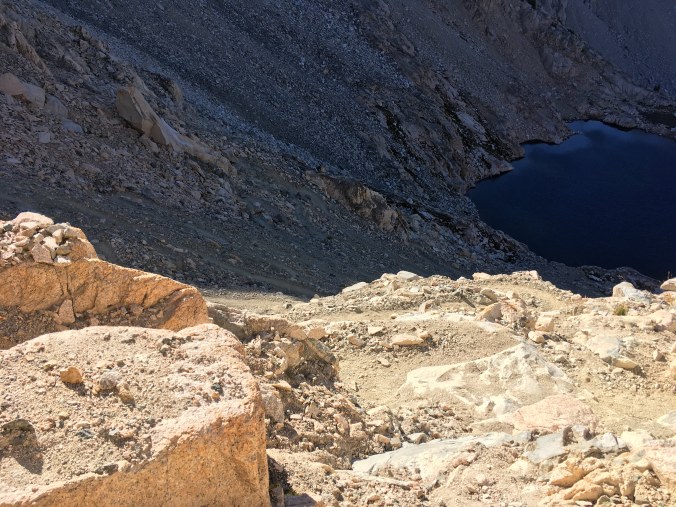
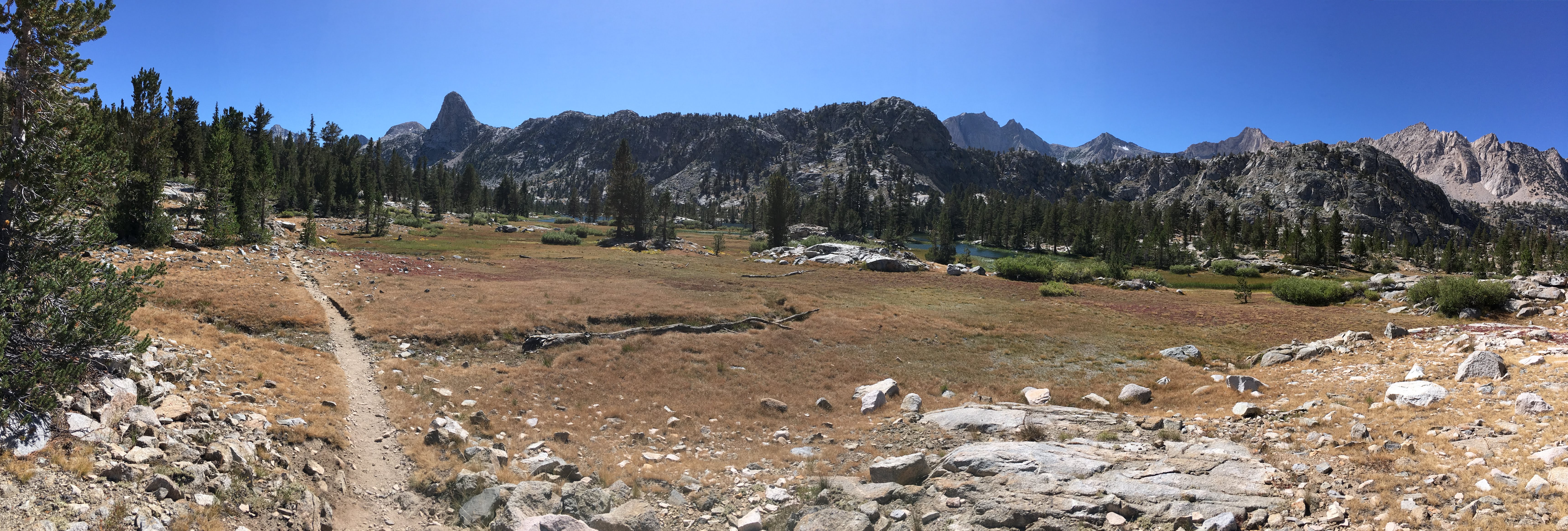
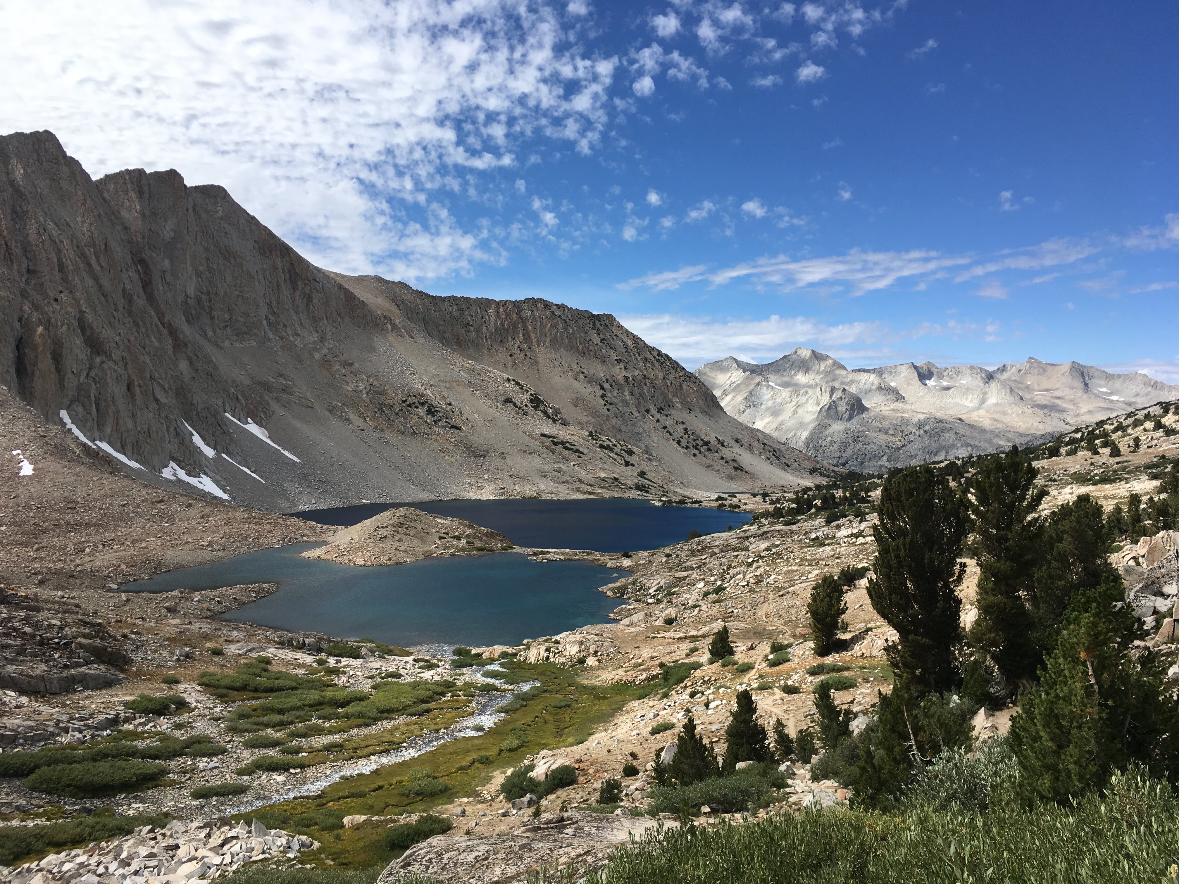
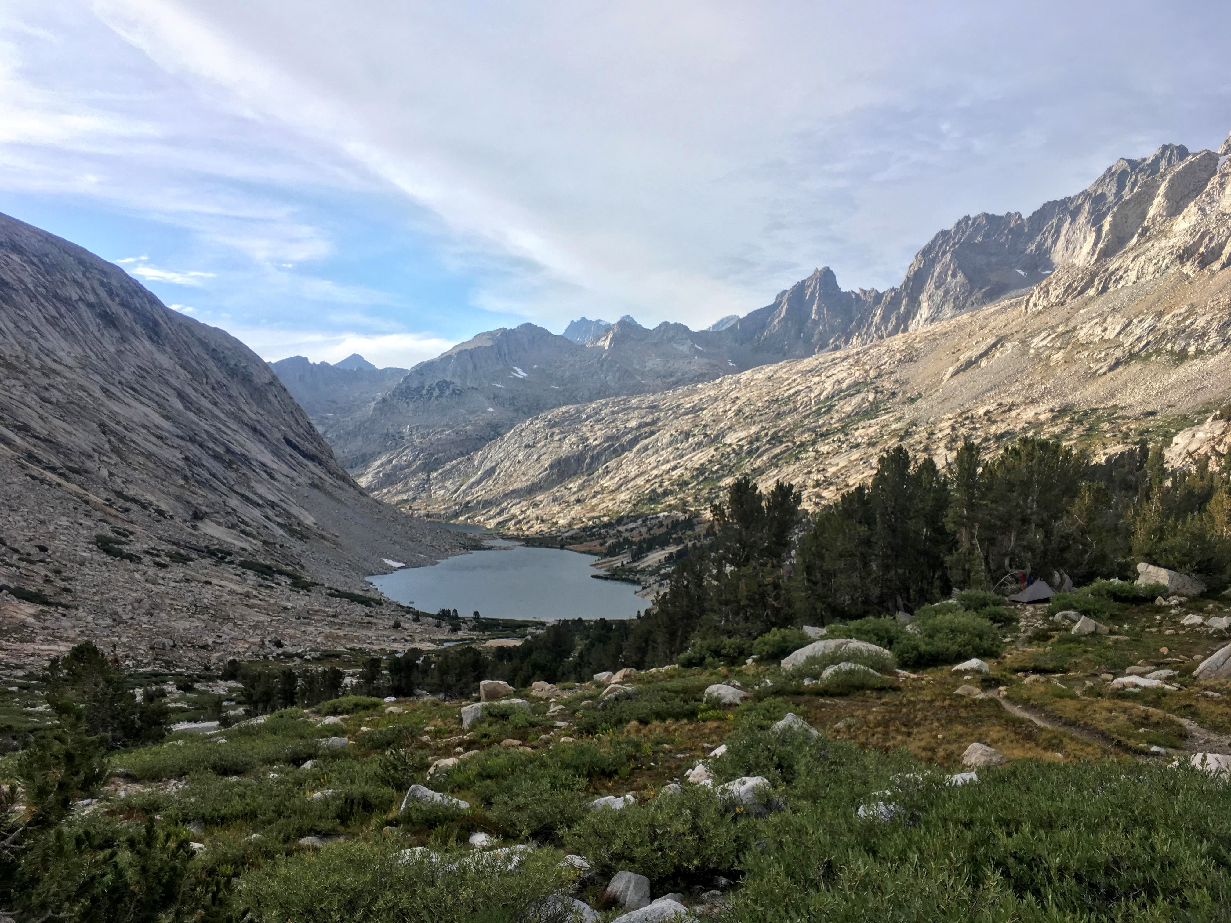
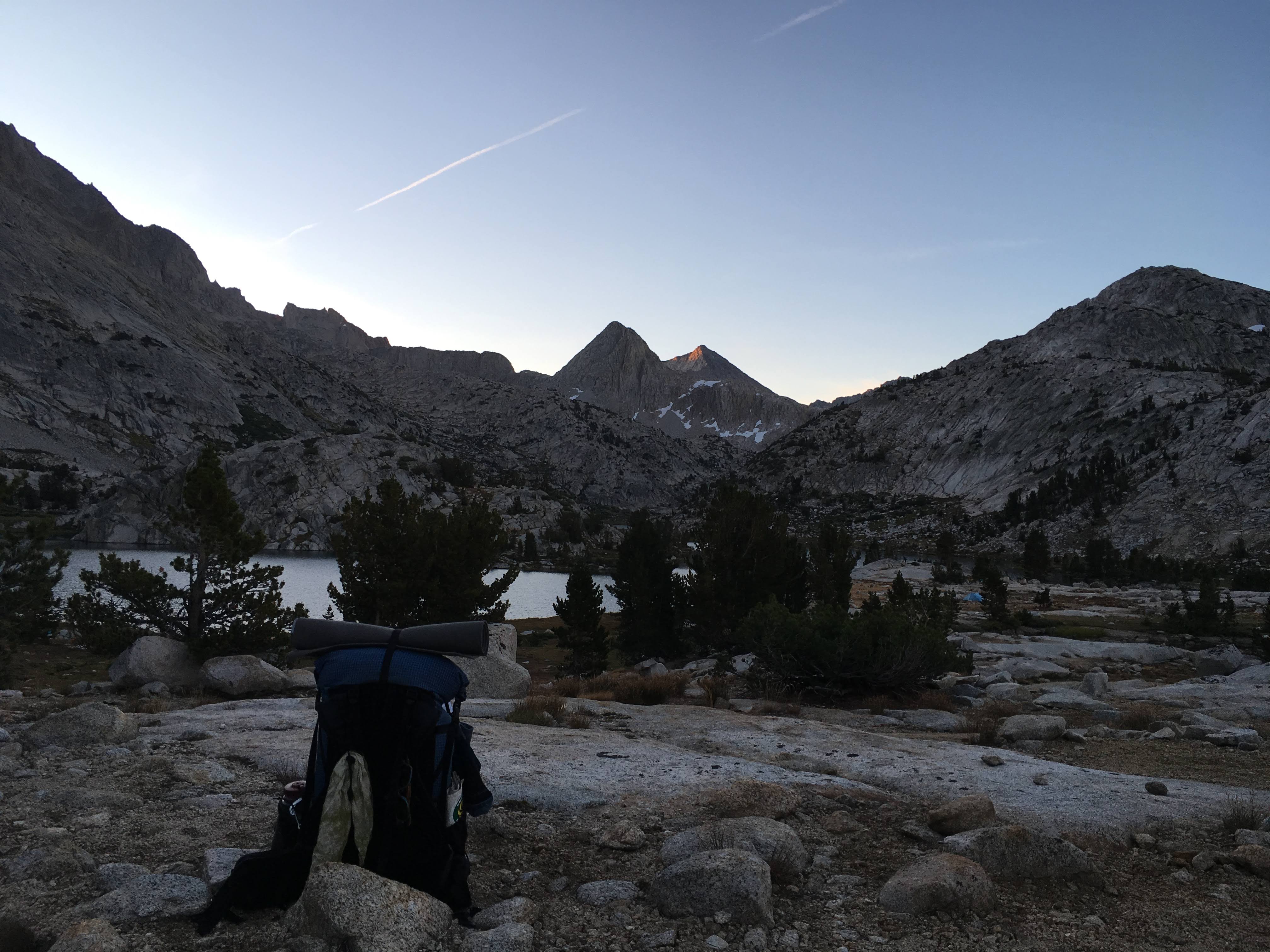
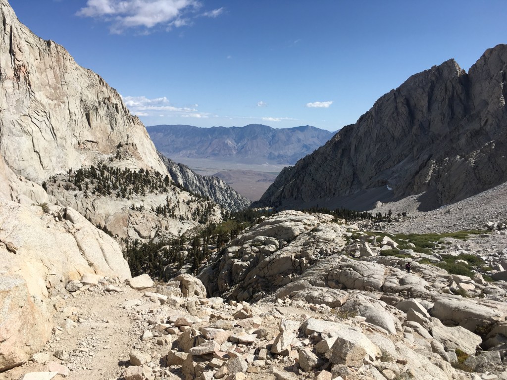
Guitar Lake and where I hiked up from in the dark

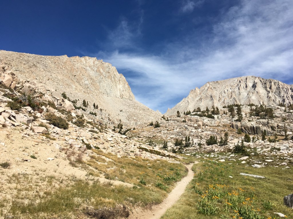
The Whitney trail passes many “windows” like this along the ridge
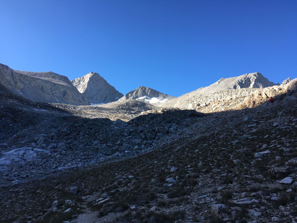
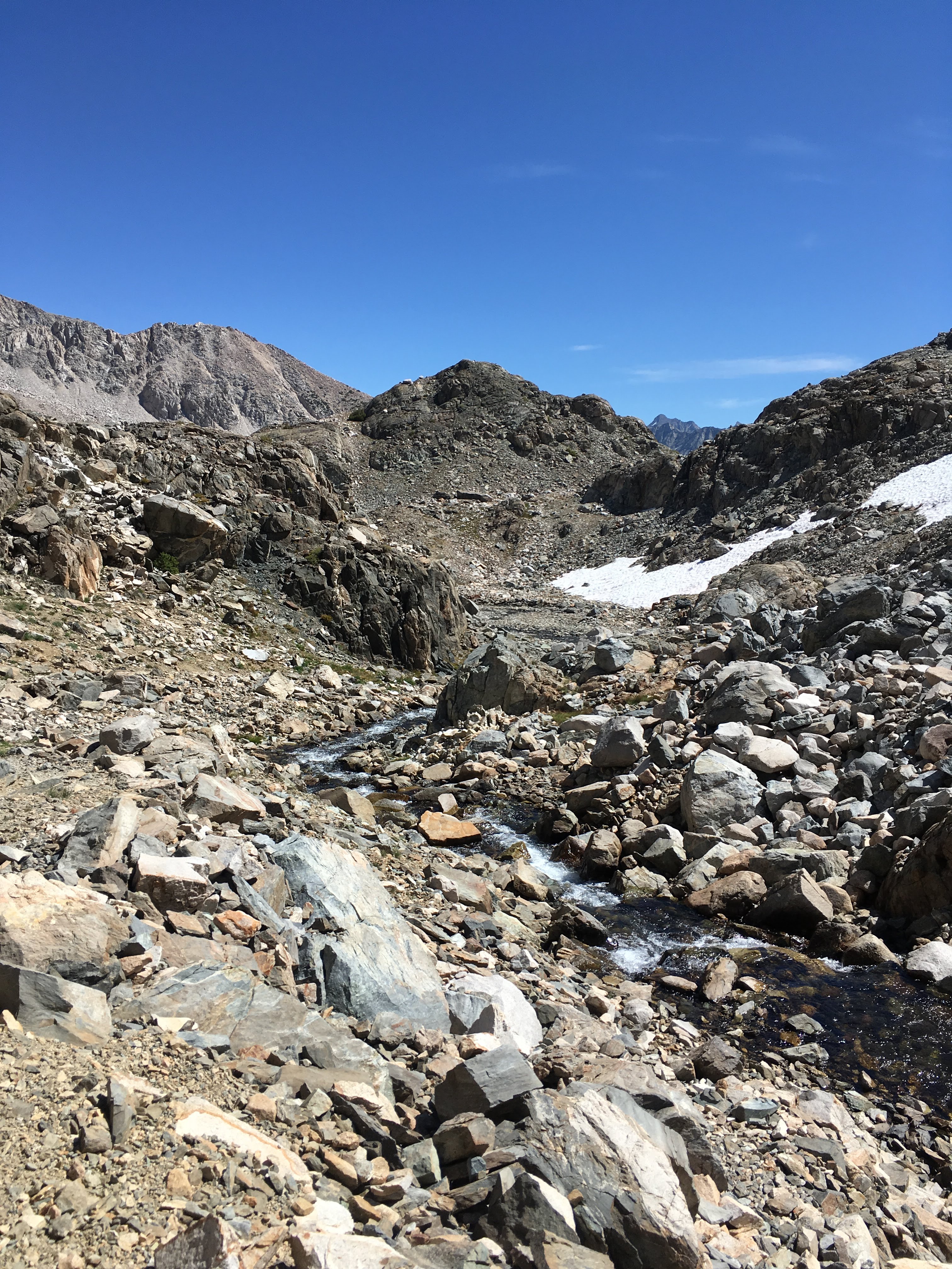
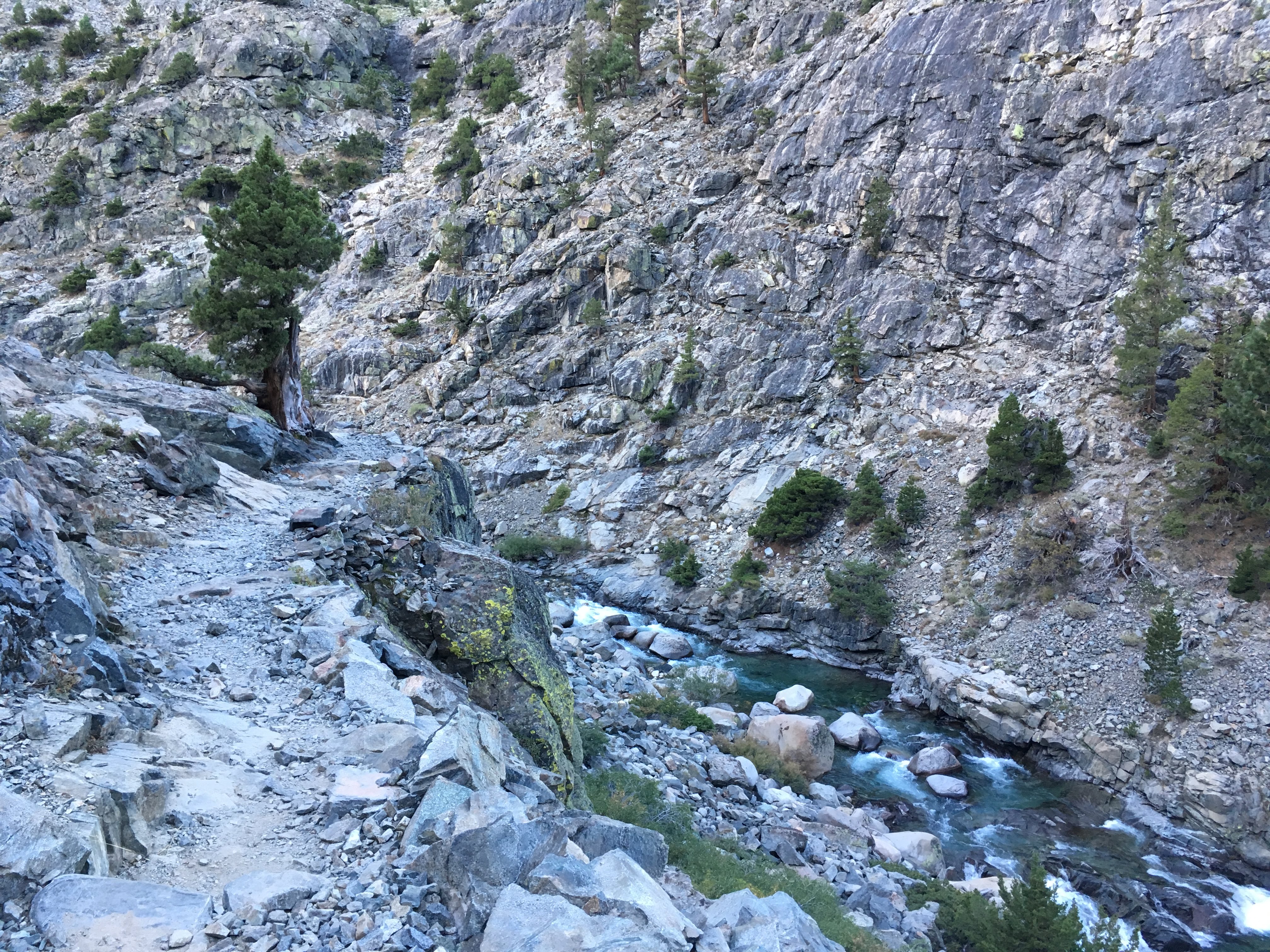
Rocky trail
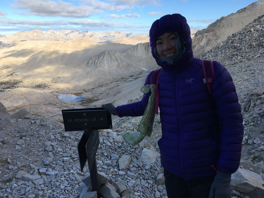
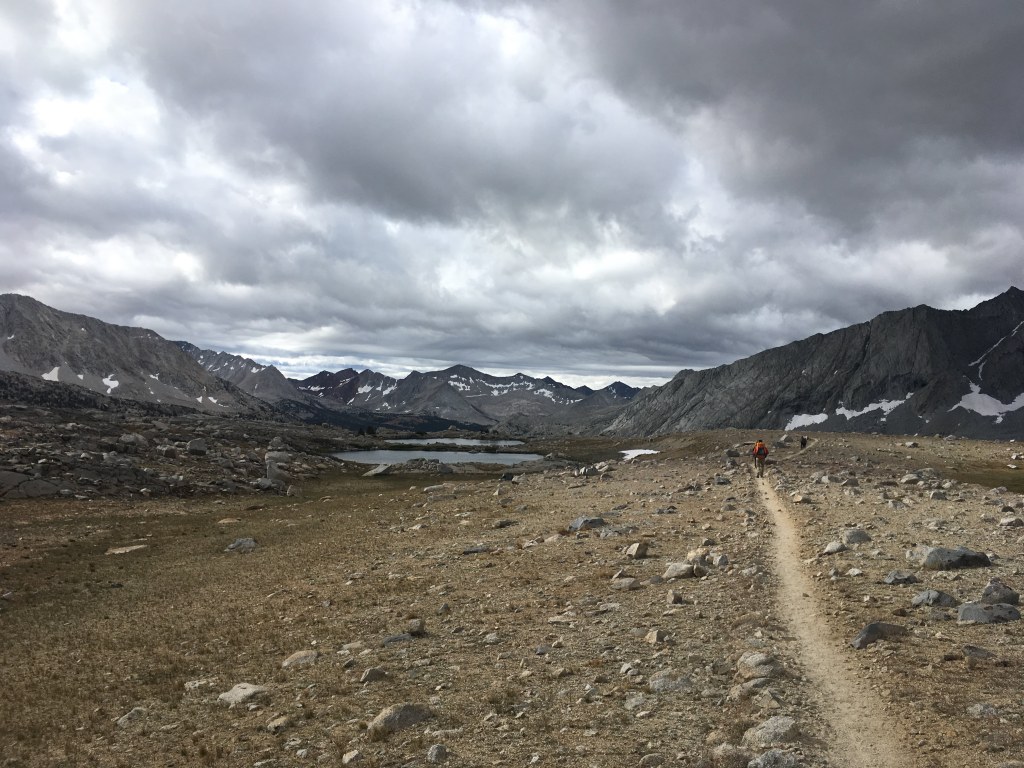
Whitney Junction, Guitar Lake below
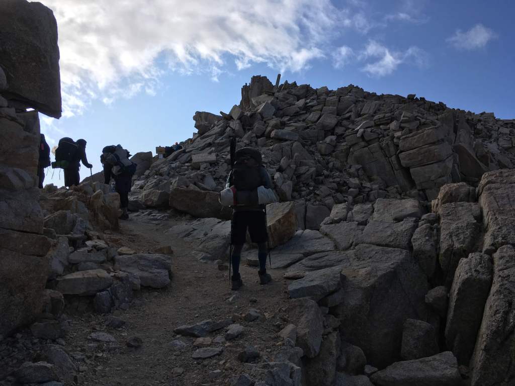
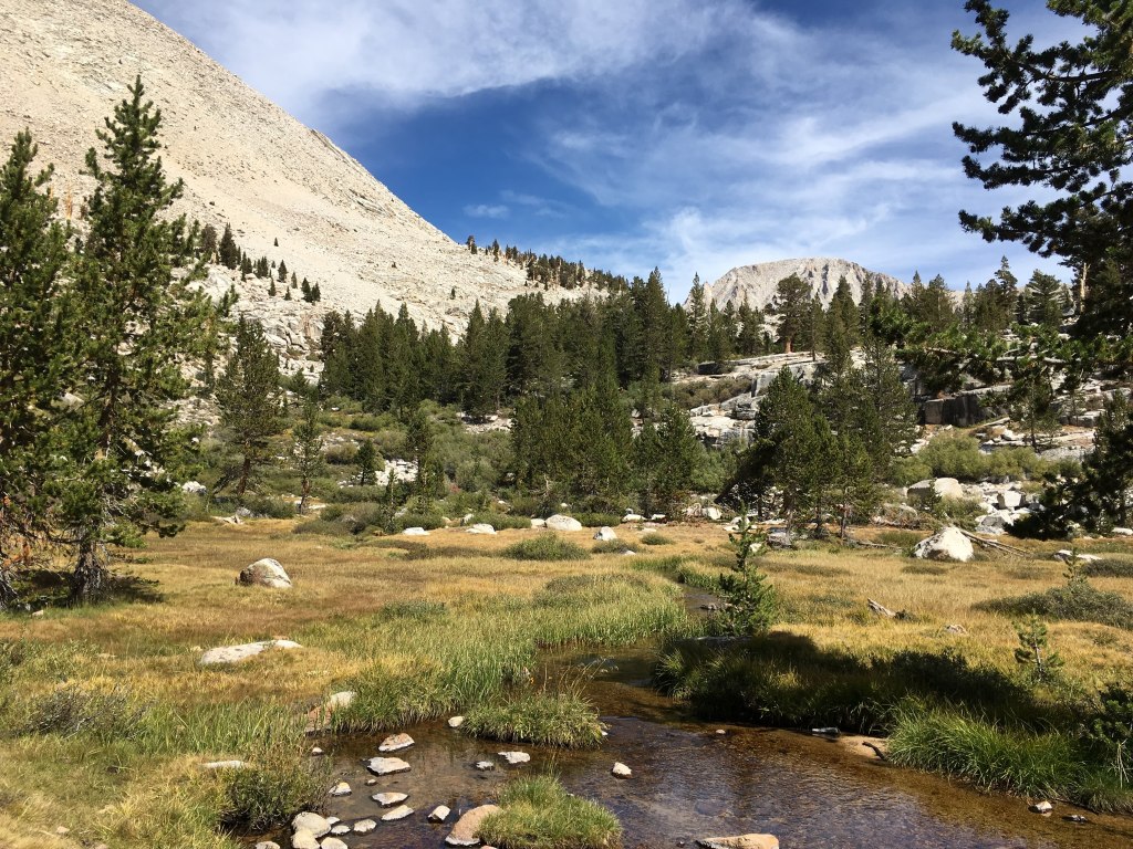
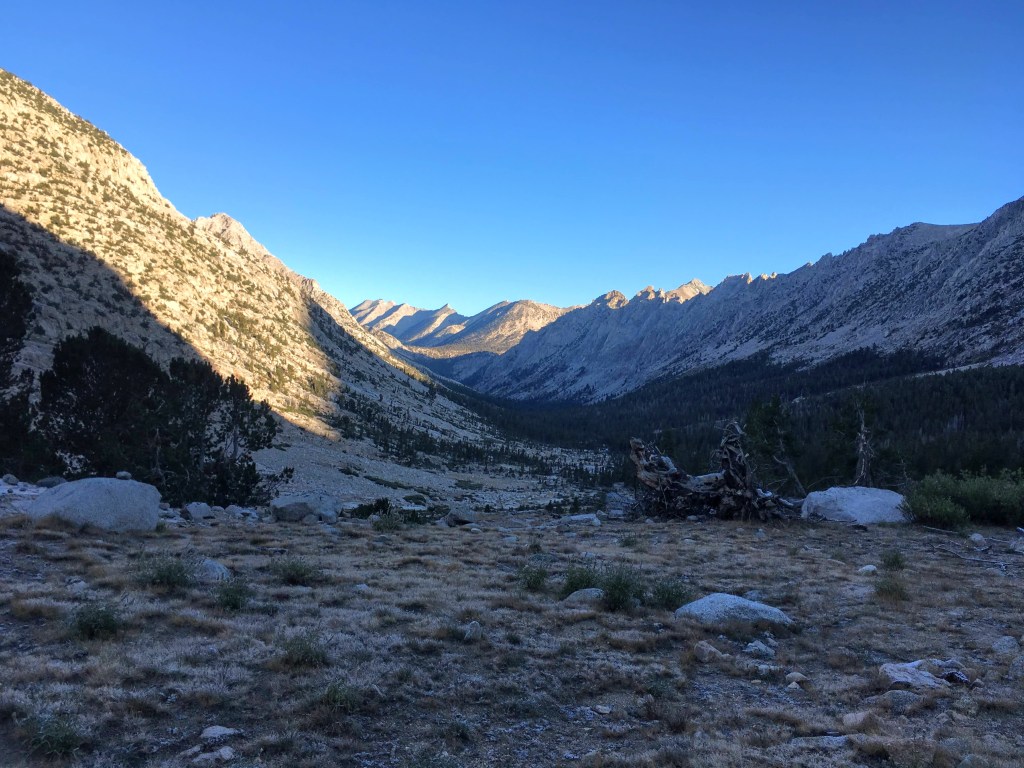
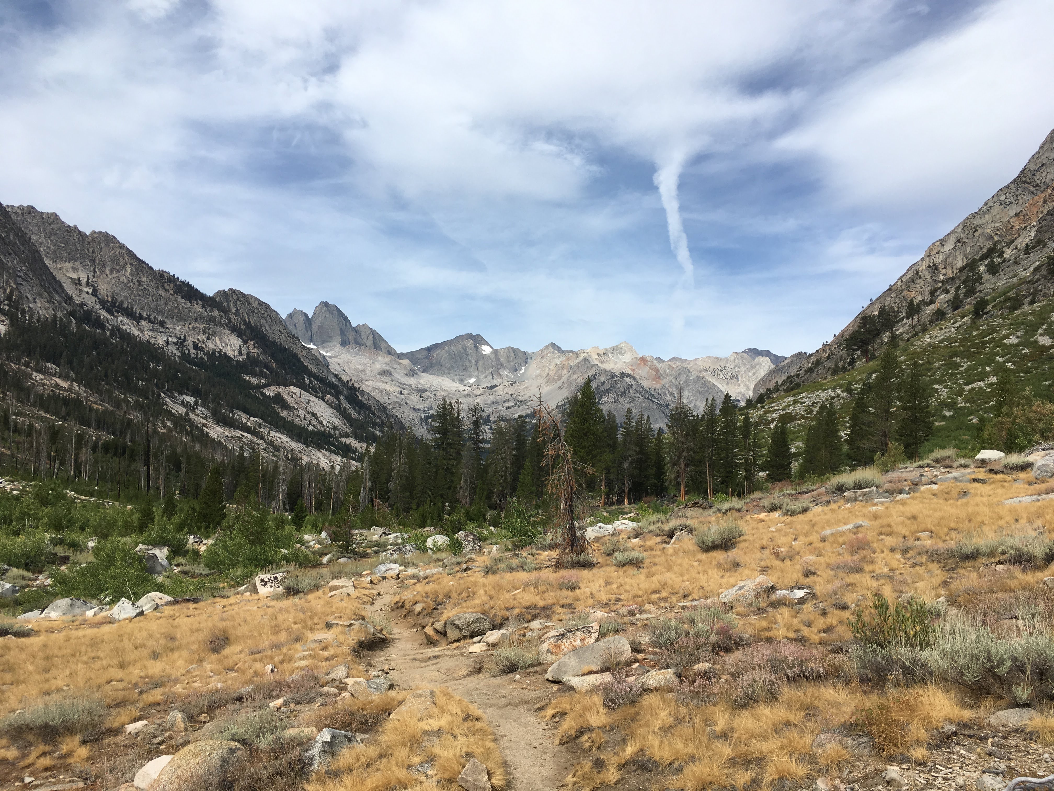
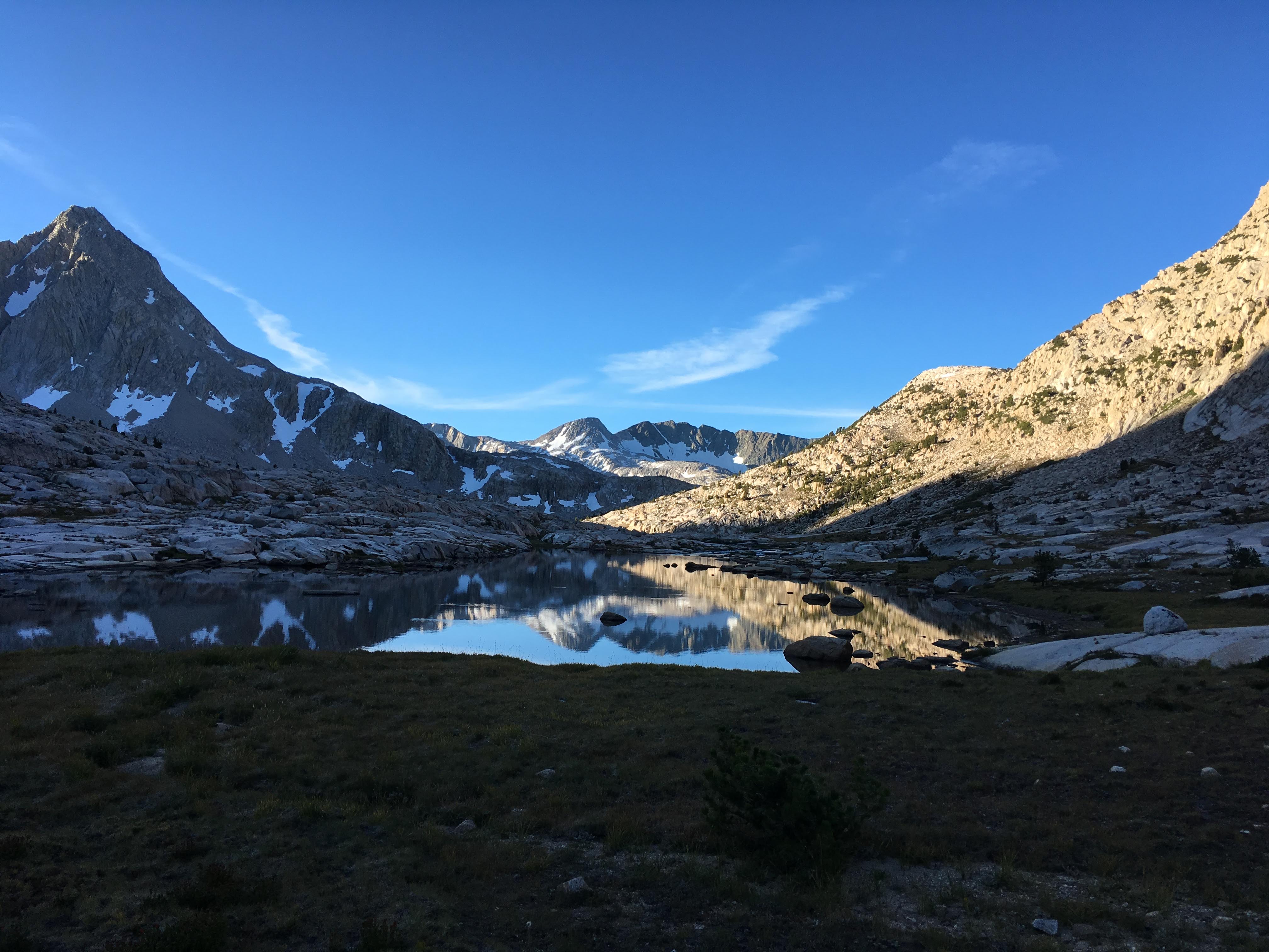
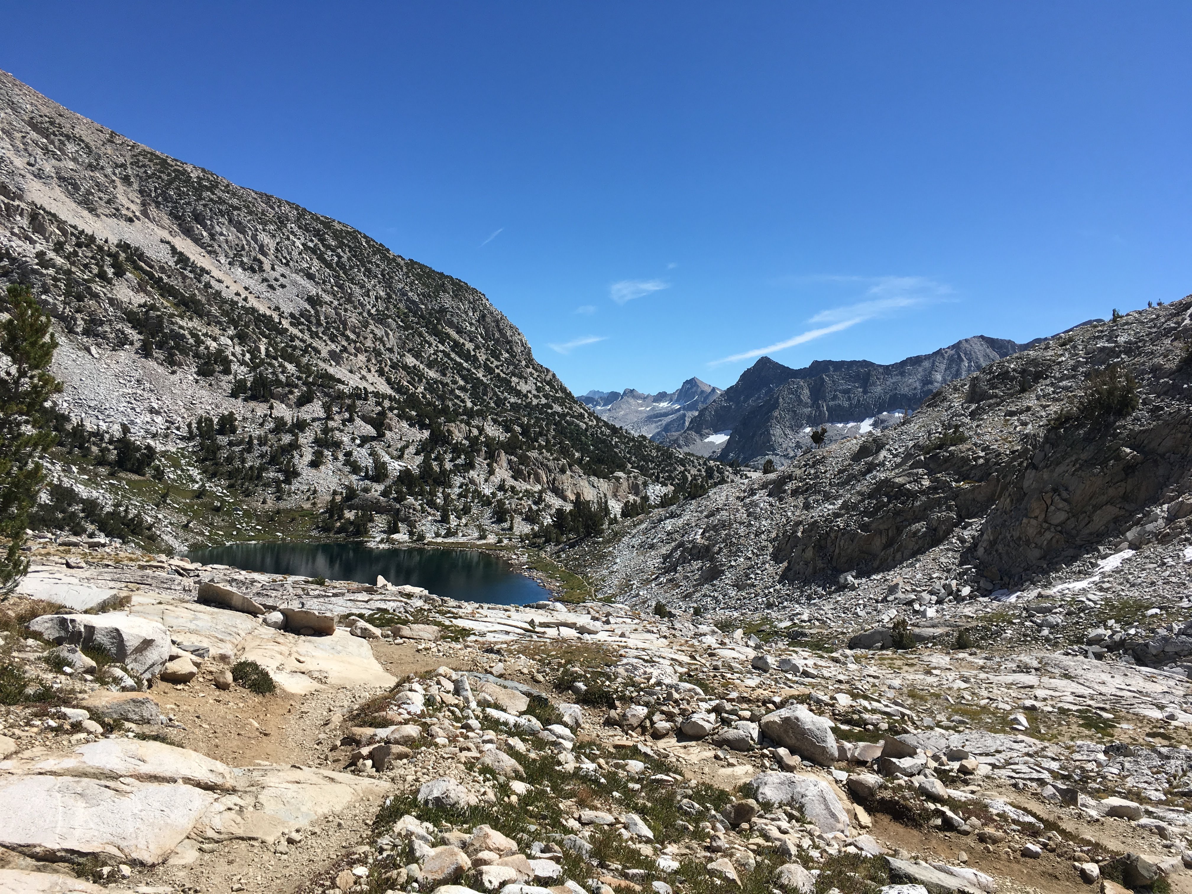
Back on the trail
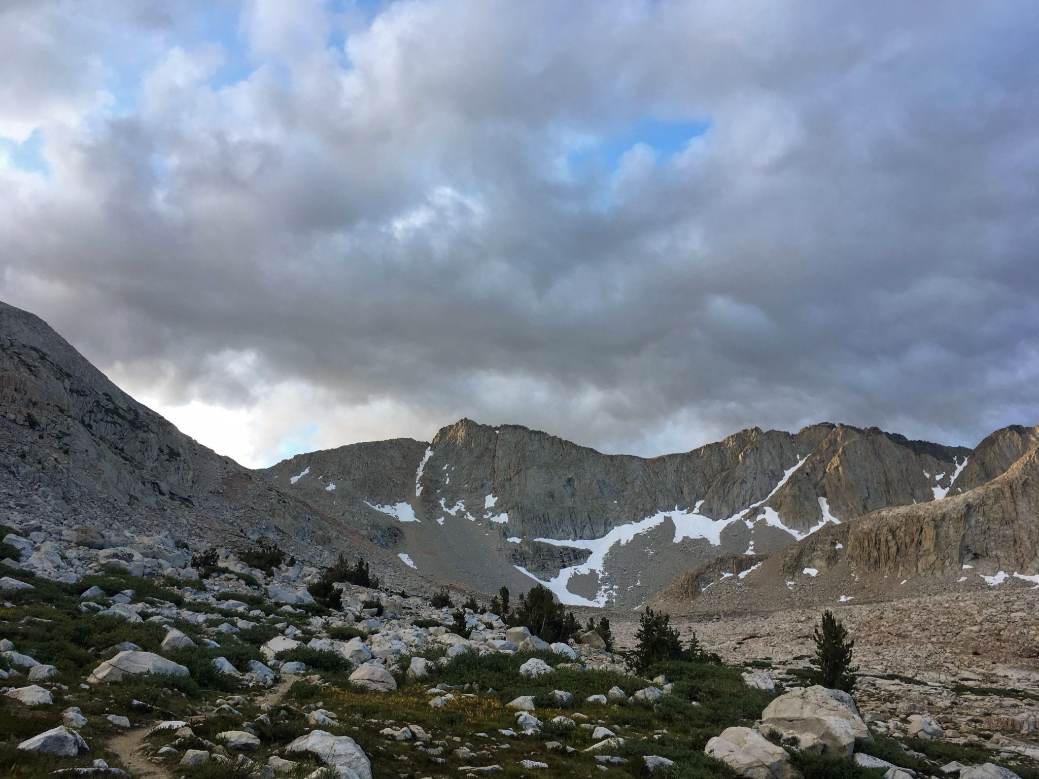
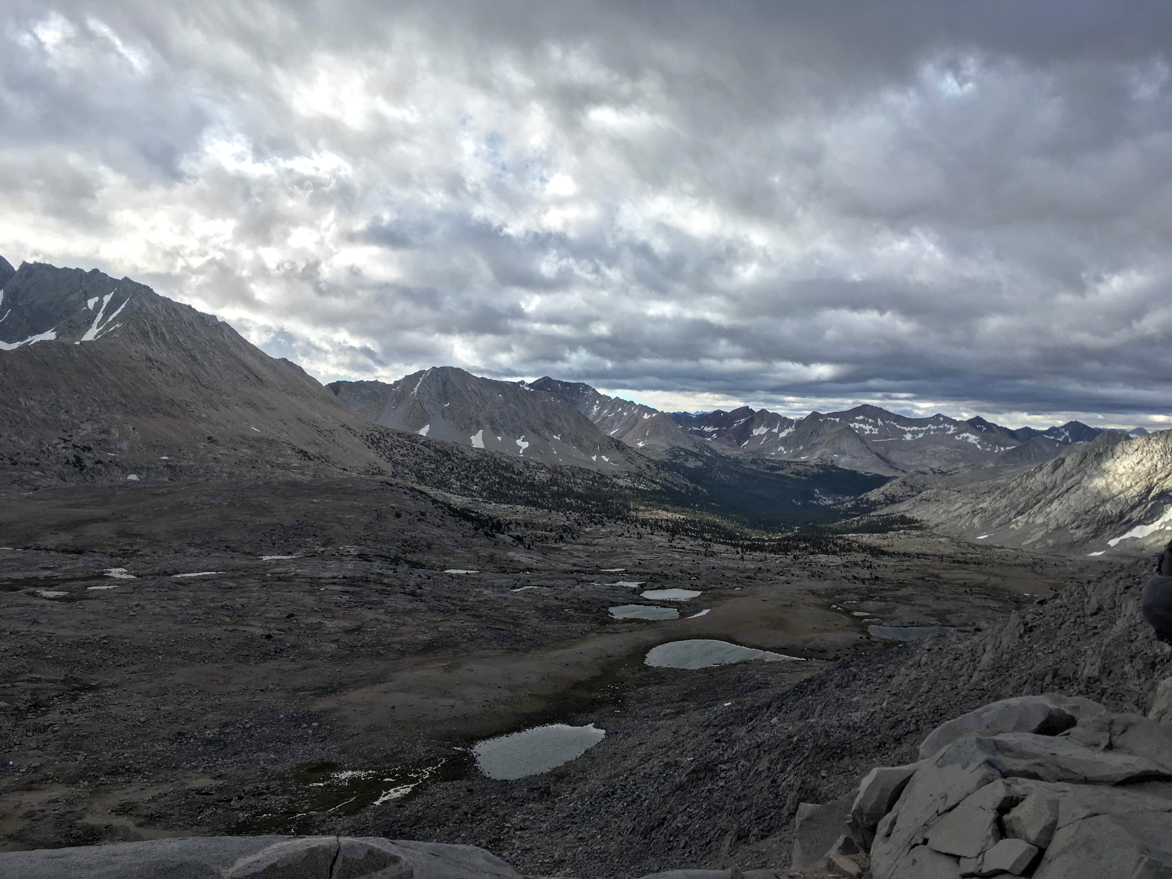
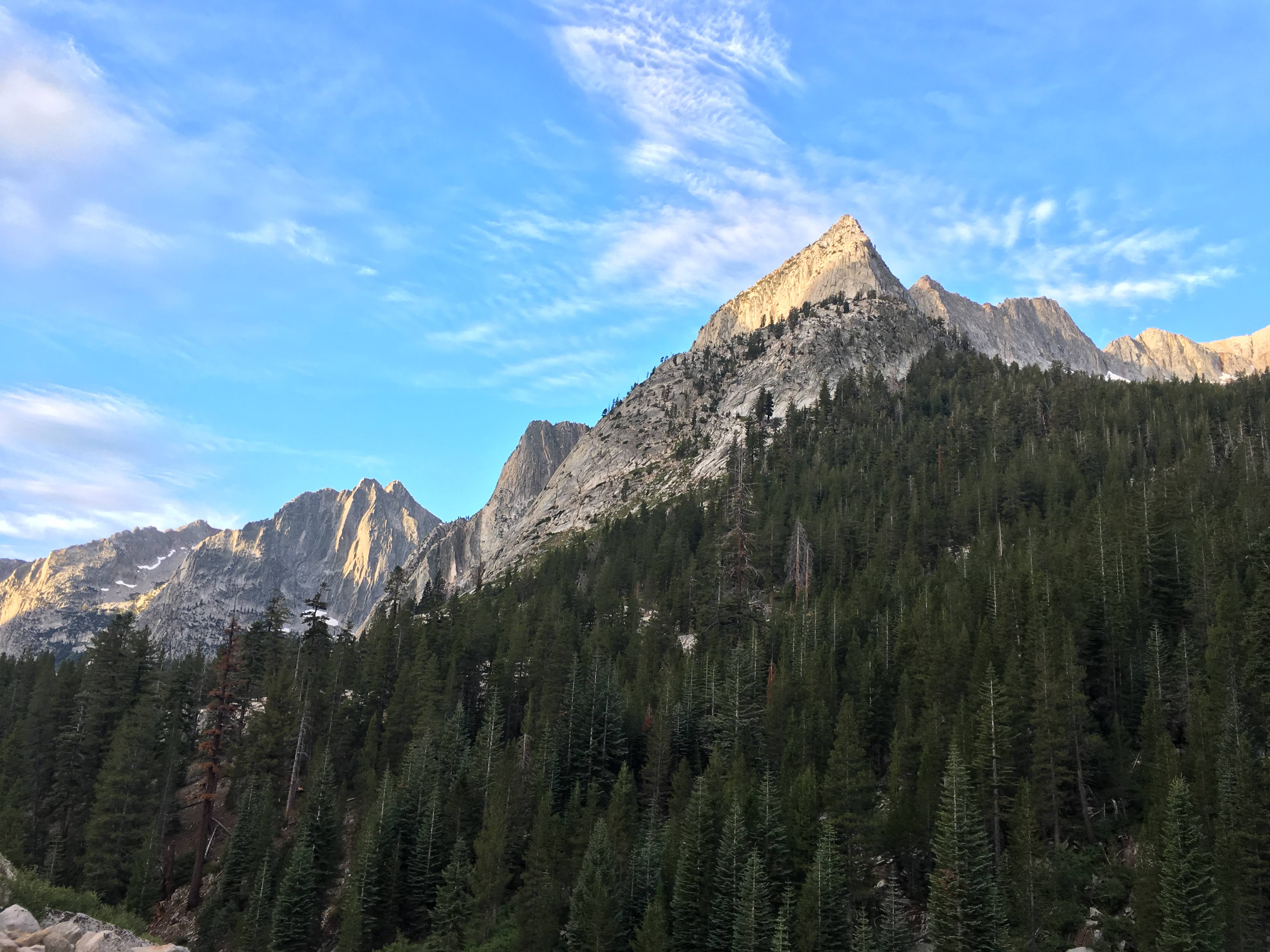
It’s a short climb to Trail Crest. Once on the east side of the ridge, it is significantly warmer — sunshine and no wind. But I’ve still got 99 switchbacks (and not one is fun) to Trail Camp, followed by 5 miles of steep rocky down, down, down. I can see why these last 8 miles of trail to Whitney Portal aren’t part of the JMT. They are of a completely different character, of getting somewhere fast. Who’s idea was it to end such a beautiful trail with such an unrelenting sufferfest?

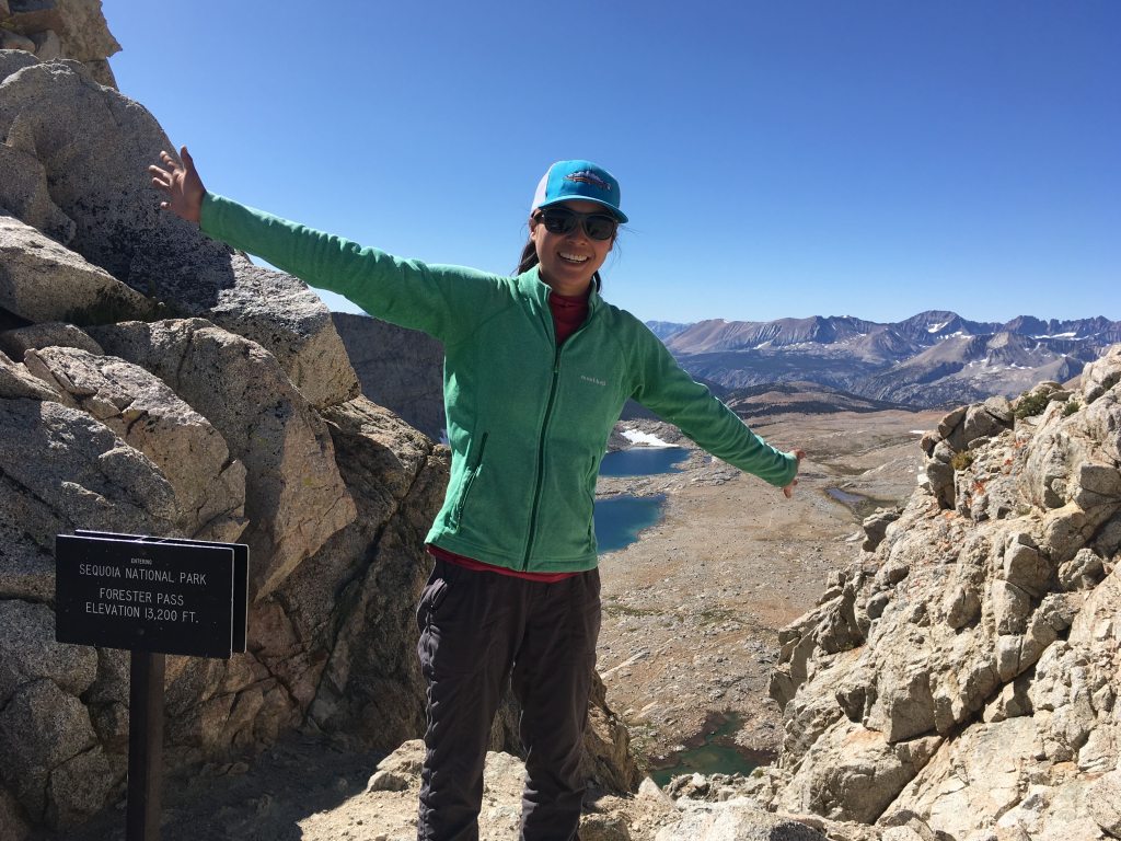
Trail Crest
Mount Whitney is the tallest mountain in the Lower 48, so it is extremely popular with peak baggers near and far. 150 permits are issued per day for day-use and overnight climbs. After the remoteness of the JMT, it is jarring to see so many people. There are Silicon Valley achievement-oriented tech-types in full outfits of expensive brand-spanking new gear; Chinese, Arab and European tourists doing it as part of their Grand Tour of the United States; ordinary families huffing and puffing along that clearly aren’t going to make it… And JMT north-bounders, carrying fully-loaded packs uphill. Respect.

Section of trail blasted into a cliff, cables bent away by snow load

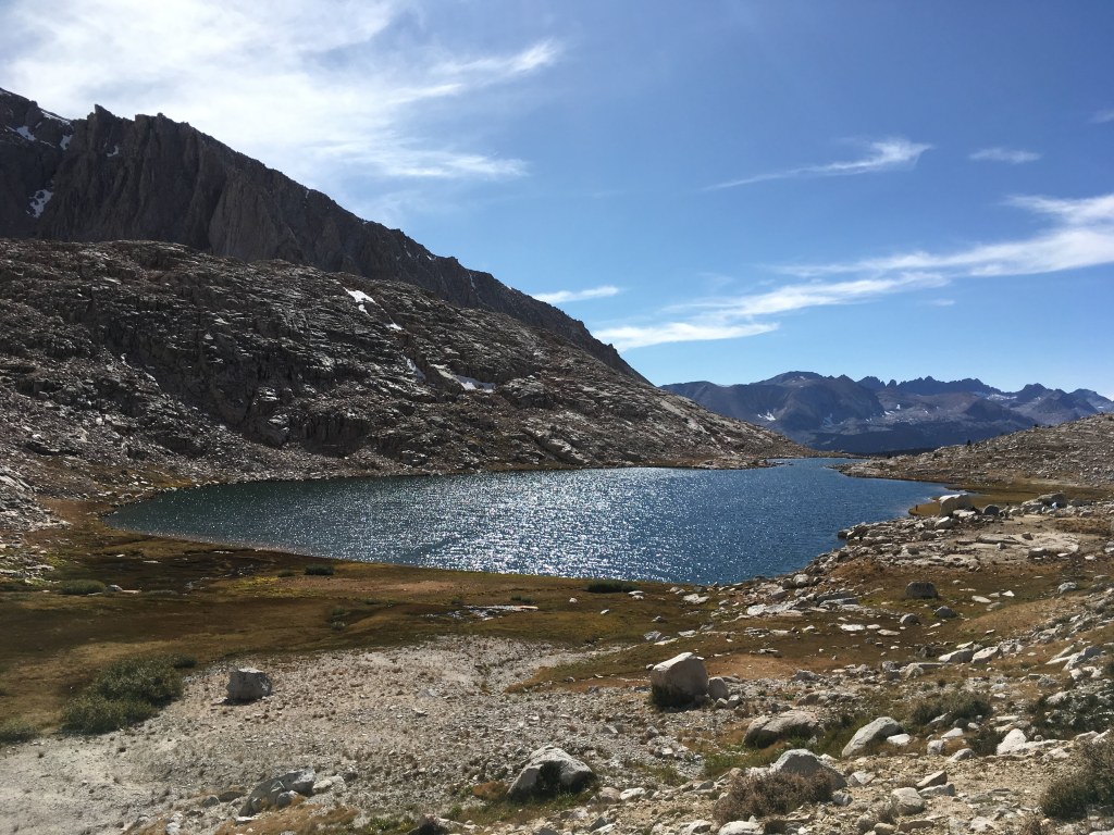
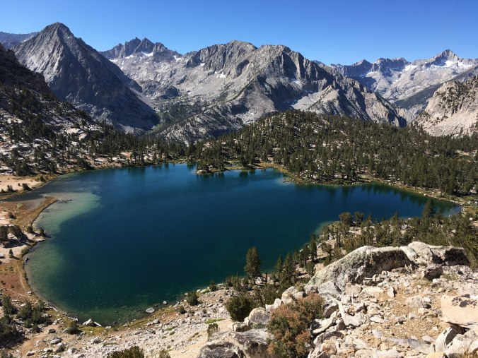
Trail Camp
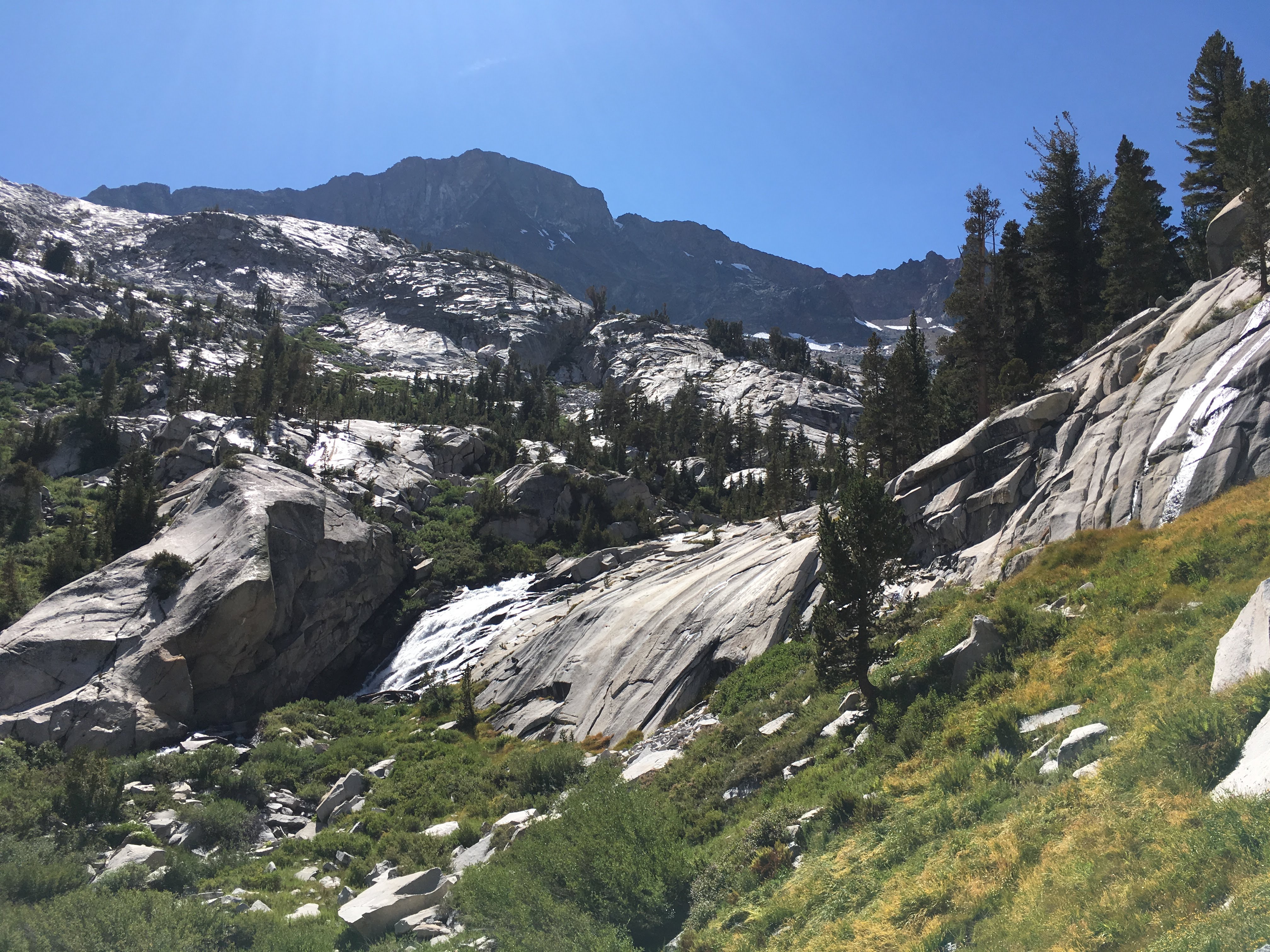
Trail winds down steep narrow canyon after Trail Camp
I meet Suki on the way down. We start chatting and she offers me a ride to Lone Pine. Trail angel! (We’ll exchange info and meet up for Korean food in LA post-trail.) I eat my lunch at Outpost Camp while she packs up her tent. She hiked all the way up to Trail Crest today but wasn’t feeling it so she turned around. I tell her that based on the conditions this morning on the other side, she probably made the right choice.

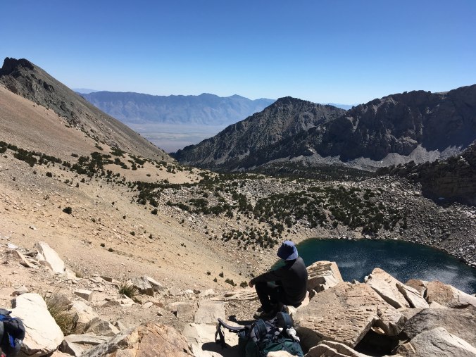
Alabama Hills down in the valley
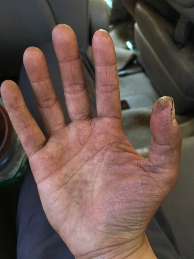
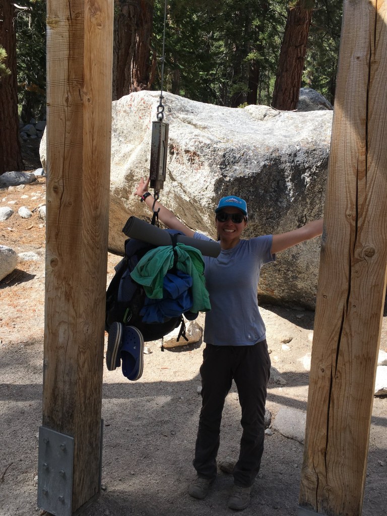
Finally, we reach Whitney Portal. About 8 meters from the end of the trail where it’s nice and well-paved, I roll my right ankle for the third time on this hike. I hobble over to weigh my pack on the scale at the portal. Then I hobble to a pit toilet. I managed to make it all the way down without having to poop in the no poop zone and didn’t end up using my wag bag! I think my body was confused by the alpine start. It is about 2:30 PM when I finish the day’s hike, the entire JMT and the journey I have been on for the last three years. I have no grand epiphanies, no sense of great achievement, all I want to do is make sure my car is still in Lone Pine, take a shower and eat a salad.
I did a thing!