The John Muir Trail

As you may know, I plan to hike the John Muir Trail, called the JMT for short, in September. It’s less than 3-weeks before I fly to the US to make final preparations (mostly buying food and sending myself re-supply) before embarking on the trail. My friend Libby suggested I tell you all a bit about what the JMT is and why I am doing it. Sorry if I have been chewing your ear off about the JMT this and the JMT that without first explaining what it is.

What is the JMT?

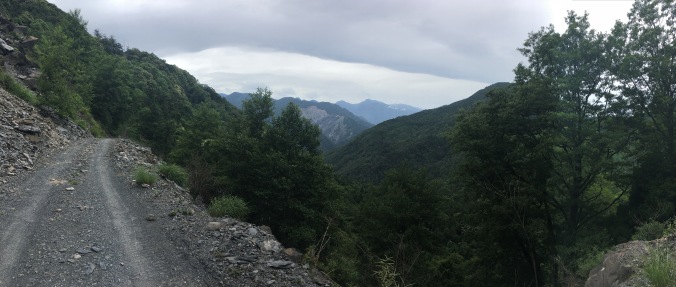
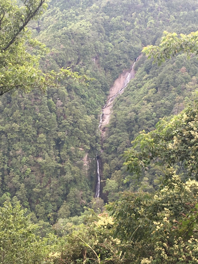
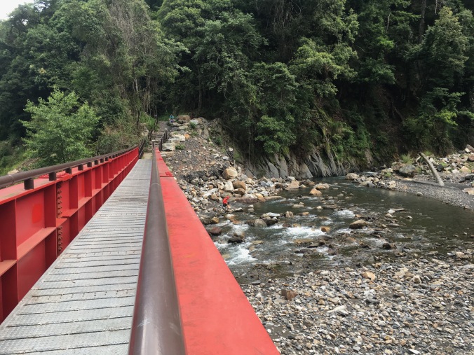
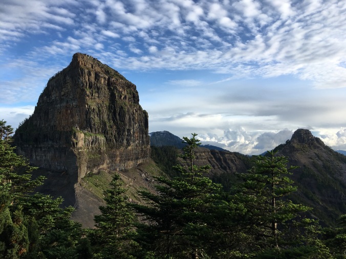
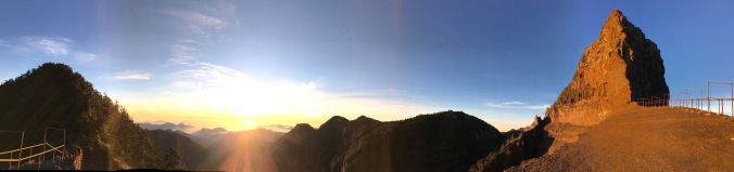
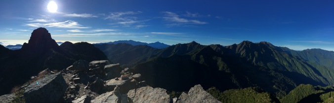
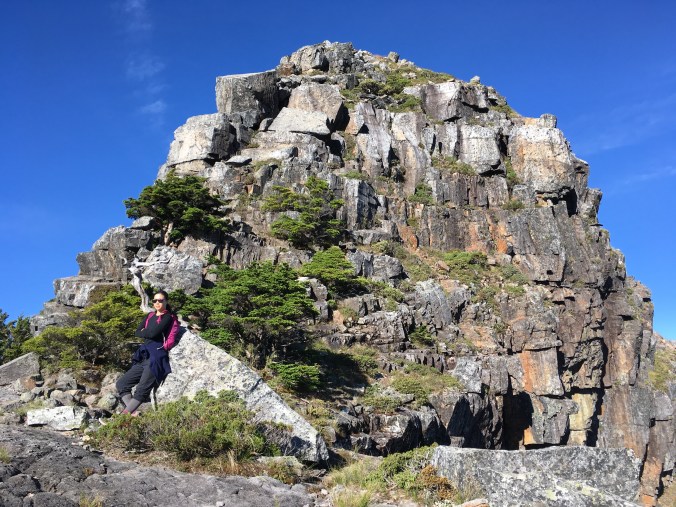
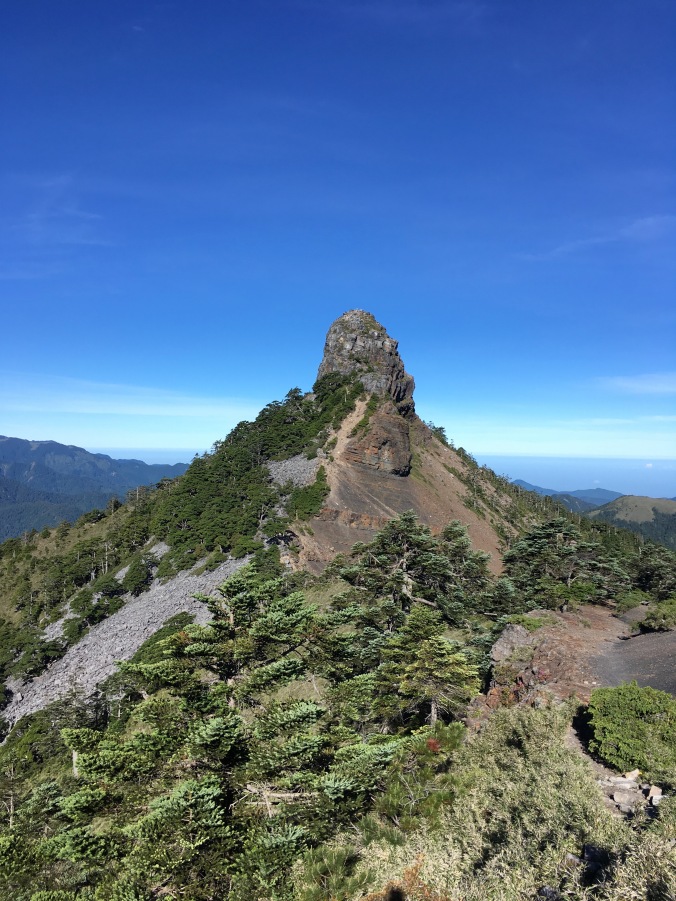
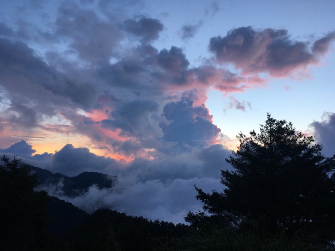
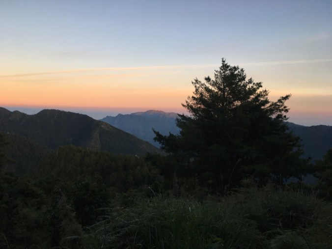
The John Muir Trail is a 211 mile (340km) trail from Yosemite Valley to the top of Mt. Whitney, the highest peak in the lower 48, in the High Sierra backcountry of California.

To give you a better idea, 211 miles is the distance between New York and Boston or Tokyo and Kyoto.

2388276396_8be8c71ea2_b.jpg

JMT Elevation Profile (stolen from the Internet)

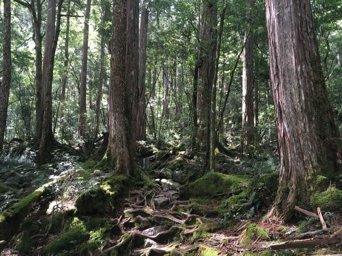
The trail is named after pioneer conservationist John Muir (1838-1914), founder of The Sierra Club and chief advocate for the creation of Yosemite National Park. John Muir called the Sierra Nevada the “Range of Light” for the light colored granite peaks carved by glaciers 2.5 million years ago.

Construction of the JMT began in 1915, a year after Muir’s death, and the last sections were only finished in 1938 due to the intervening Great Depression. So, hiking the JMT is not really walking in Muir’s footsteps, but maybe it can be considered walking his footsteps in spirit.

It would be really hard to follow John Muir’s footsteps. In his books, Muir bushwhacks and scrambles up mountainsides with no particular trail or path in mind, getting himself in and then extricating himself from hairy situations, carrying only a few pieces of hard bread in his pockets and making beds out of fallen pine boughs. He had none of the modern high-tech, quick-drying, light-weight gear, but I’d say he was the ultimate bad-ass ultra-light hiker.

Despite the badassity, Muir was no macho peak-bagging exploration expedition leader set out to conquer nature. He was a naturalist and philosopher who believed that man needed to go into nature to commune with God and witness the glory of His creation. Through his careful observations while exploring the Sierra, Muir theorized that Yosemite Valley and its surroundings were shaped by glaciers (now the accepted theory) and later went to Alaska multiple times to study glaciers still in the moment of Creation there. He believed that we need nature for spiritual reasons, and that we cannot think of nature merely as resources to be exploited by man.

Find out more about the JMT at the Pacific Crest Trail Association website. The PCT, popularized by the book and movie Wild, pretty much overlaps with the JMT in the Sierras.

Why am I hiking the JMT?

Maybe you can tell from my description above, John Muir is a personal hero. When I learned about him as an 8 year old on my family’s trans-America road trip, his story and environmental philosophy really fascinated and appealed to me.

Before moving to Taiwan, my parents drove our family from Atlanta, Georgia to San Jose, California on a two-week road trip across the American West. We covered the Grand Canyon, Petrified Forest, Arches, the Great Salt Lake, Redwood, and probably did a small trip to Muir Woods before flying out of SFO. We came back another summer to do Yosemite, Sequoia and King’s Canyon. Thinking back now, those family road trips to the big and sexy National Parks of the American West cemented my American identity, associating freedom with wilderness and patriotism with conservation. I don’t remember many details of what I saw, but this fed into a subconscious attraction to and romanticized notion of the American West. There is a whole genre of film devoted to this feeling: the Western.

Despite taking my brother and I to the National Parks, my parents are not athletic or outdoorsy people, so these were just car trips to the most accessible parts of each park, staying at some highway motel. After I grew up, I knew that what I’d seen and could barely remember was the tip of the iceberg. If barely the tip of the iceberg could continue to have such an impact on me, I knew I had to go back and experience them more fully, but I didn’t think I had the experience or know-how to do so.

I read Muir’s My First Summer in the Sierra a couple years back and it became my dream to hike the John Muir Trail. (Note: Muir’s writings are in the public domain and free on Kindle e-book.) I didn’t have any concrete idea how I would do it though, until I read Carrot Quinn’s Thru-Hiking Will Break Your Heart, which made long distance hiking seem possible to me. Instead of continuing to wish I were more outdoorsy, I would just DO THE THING and become outdoorsy!

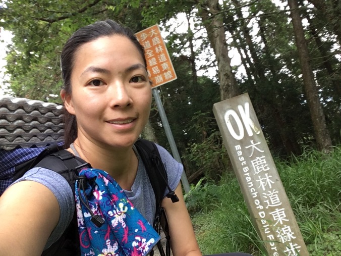
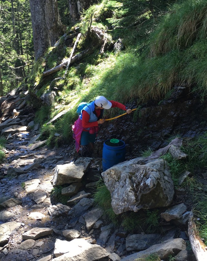
I started collecting my backpacking gear last fall, and after getting a permit for the JMT over the winter, started gaining experience with multiday backpacking trips in the spring. 

My hiking plan

My hiking partner Jackie and I have a permit to begin hiking the JMT from Happy Isles in Yosemite Valley on Sept 18. Long story short, I originally had a permit for July 12, but due to the unusually high snowpack in the Sierras from last winter, we reapplied and got a later permit. Unfortunately, that pushes us into shoulder season and we face risks of early season snowstorms in October.

We plan to hike at a pace of about 10 miles a day and complete the trail in about 25 days, weather permitting. Our actual hike will be longer than the official 211 miles because we plan to hike Half Dome and Cloud’s Rest, resupply via Onion Valley and will need to get down to the trailhead from the top of Mt. Whitney at the end of the hike.

My goal is not to hike fast, because I want to have time to enjoy, explore and take everything in, but we are somewhat limited in how leisurely we can go by the late season. I’m not hung up on completing the trail. If you know me, I like to be prepared and am pretty conservative and risk adverse, so if the weather looks iffy, we are definitely open to bailing early. In any case, I’m sure it’s going to be awesome!

Resources

Here are some of the JMT planning resources I have been relying on. The JMT is really popular and there are so many great resources out there. I’m never going to write a “how to” trip planning guide for the JMT, but you can look forward to my trail journal.

Elizabeth Wenk, John Muir Trail: The Essential Guide to Hiking America’s Most Famous Trail

This is the bible for JMT trip planning. I’m also planning to bring this along on the hike, since the detailed descriptions are going over my head now, but I’m sure they’ll be invaluable on the trail.

Bearfoot Theory blog

Kristen hiked the JMT in 2014 and her blog has the best and easiest to follow guides for all your preparation needs, from how to get a permit to how to pack your food. She’s a quit-the-day-job-to-become-an-outdoor-adventure-blogger success story, but only because her content is so good! You can hear her tell her story here.

Facebook Groups:

All of your stupid questions asked by someone else and plenty of up-to-date photos of trail conditions.

  • John Muir Trail
  • John Muir Trail Hikers 2017
  • Ladies of the JMT

John Muir Trail Yahoo Group

Run by Roleigh Martin and John Ladd, seasoned JMT and Sierra veterans. These guys and Lizzie Wenk are also active on the Facebook Groups.

Ape Man’s Youtube Channel

I really like this older California gentleman’s take on hiking and the outdoors. His videos are less polished than a lot of the videos by younger, better looking folks out there (sometimes he looks down to a sheet of looseleaf paper for his notes), but he’s got great no-nonsense practical advice that comes from many years of experience and familiarity with the Sierras and bad dad jokes.

Crochet Pattern: Beer Cozy

What have I been doing this summer besides adventuring? Crafting. When moving out of my apartment last fall, I unearthed a sizable yarn stash and an even bigger fabric stash. In an effort to downsize my stuff, I’ve been trying to make these resources into semi-useful stuff to give away to friends. Everyone and their mother is having a baby right now, so I embarked on a project to make my yarn stash into baby beanies, but last night I was working on a ball of yarn that turned out to be too small for even a newborn beanie, so I made it into a beer cozy instead.

IMG_3625

Coming soon to an etsy store near you!

Fun fact 1: Koozie is a brand name and trademarked term that became genericized, like Thermos. 

Pattern adapted from this super useful master beanie pattern below:

Pattern notes:

Following the principles of the master beanie pattern, the best way to do this is grab a can of beer (preferable full, and then drink about half of it before beginning so it doesn’t spill when you try to fit the cozy to the beer), and make increasing rounds until you make a circle the size of the bottom of the can, and then work up to the desired height of your beer can.

IMG_3624.jpg

Like so

For me, working with worsted weight yarn and a US H size, 5MM hook, the bottom circle was one round of double crochet and two rounds of half double crochet and the height 11 rounds half double crochet,  plus one round crab stitch edging.

Since you work in a fairly small round, you can use up all the tiny balls of leftover yarn in your stash to make striped cozies. This seems to me more fun and useful than making a bunch of granny squares.

Fun fact 2: Aussies call these things “stubby holders.”

Pattern:

  • Row 1: Magic circle, 10 dc in circle. Join to top of first dc with sl st. (10)
  • Row 2: Ch-2, 2hdc in each st around. Join to top of first hdc with sl st. (20)
  • Row 3: Ch-2 *hdc in next st, 2hdc in next* repeat around. Join to top of first hdc with sl st. (30)
  • Row 4: Ch-2, working in backloops only, hdc in each hdc around. Join to top of first hdc with sl st. (30)

    IMG_3630

    Working Row 4 in backloops only is what makes the “corner” on the bottom of the cozy

  • Row 5-14: Ch-2, hdc in each hdc around. Join to top of first hdc with sl st. (30) Change colors as desired.
  • Final row: Ch-1, crab stitch around. Join and weave in ends. (30)

(Easiest way to learn to magic circle or crab stitch is to look for a video on Youtube.)

Color variation:


Hiking in Taiwan: Dabajianshan (大霸尖山) 4-Day Solo Hike

On clear days, you can see Dabajianshan (大霸尖山) from my parents’ apartment perched on the hills southeast of downtown Hsinchu. The distinctive square shape of the peak makes it super easy to recognize. It’s on the 500NT note. Dabajianshan is the holy mountain of the Atayal people and where they believe their ancestors came from. The “ba” in Daba means “dominate”; it’s the same character used in「霸王」or warlord. All reasons I decided to climb it.

Most people climb Dabajianshan in a 3-day hike, staying two nights at Jiujiu (or 99) Hut, which is manned. However, a Chinese language hiking guide I read strongly suggested breaking up the hike into 4 days and tent camping at 3050 High Ground or staying at Zhongba Hut which appealed to me because I like to avoid crowds and had a romantic idea of seeing sunrise from Dabajianshan.

Trail journal below.

Day 1 – Monday, July 17

Dalu Forest Road (大鹿林道) to Madara Creek Trailhead (馬達拉溪登山口) (19.5km)

Dalu Forest Road is an easy walk. It’s a mostly gravel road crossed by many small waterfalls. I actually get to see most of the endemic and endangered birds and butterflies described on the interpretive signs along the trail. Good job with signage and conservation efforts, national park and forest service! The road winds up the side of the mountain and the view on the other side of the valley is not bad. But it does get tedious after about 10km. (And there is no where secluded to pee.)

IMG_2840

Beginning of Dalu Forest Road

IMG_2842

Gwanwu Waterfall – a popular day hike in Guanwu Forest Recreation Area but you can’t tell it’s this high from the bottom of the waterfall.

Dabajianshan used to be a popular two-day climb, but typhoons repeatedly washed out Dalu Forest Road so its been closed to private motor vehicles since 2008 adding an additional 20km each way to the hike. You can see how the road was damaged and how streams/waterfalls just run across the trail in the video below.

I drove up in the morning from my parents house in Hsinchu past Judong (竹東) and Chingchuan (sp? 清泉) (a beautiful hot spring village high in the valley where Zhang Xueliang, the once rival warlord to Chiang Kai-shek who was blamed for losing China to the Communist Party, was once held in house arrest), so by the time I arrive at the trailhead to turn in my permit it’s a few minutes past 11AM, and the ranger lets me though without watching the safety video, because he wants to get off his shift. You’re not suppose to enter the trailhead after 11AM because of the long walk up to 99 Hut (4 hour, 4km hike up from Madara Creek Trailhead), but I’m only camping at Madara Creek.  Since I get a late start, I meet only one other hiker going up that day when I’m hiding from the rain in a worker shack at the 15km mark. He has a thick accent and I imagine what exotic location he is from in China. (Later I find out it’s Macau.)

When I finally get up to the campground in front of the abandoned visitors’ center at Madara Creek around 5:45PM, the water is not running at the toilets which is troublesome because there aren’t any good places to do you business around there. (It is apparent people have been using the toilets anyway and they are really gross.) I’m staking in my last couple of tent pegs when two vans pull up filled with workers who will be staying the night. They take over the visitors’ center building, despite a sign posted saying that the foundations of the building are not stable so do not enter.

I was looking forward to relaxing and enjoying my solitude since I have the sole permit reservation for the campground, but now my peace is disturbed by a chainsaw and leaf blower as the workmen build a f-ing bonfire.

IMG_2877.jpg

They were there to cut the grass along the forest road the next day.

I retreat to the nearby forestry service workers’ hut and manage to have a quiet dinner overlooking the creek. After dark, there are too many bugs in the hut (elevation ~1800 meters), so I have to hastily pitch my tent inside the hut. This was not as relaxing as I hoped!

IMG_2879.jpg

Forestry Service Hut

Day 2 – Tuesday, July 18

Madara River Trailhead to Zhongba Hut (中霸山屋) via Jiujiu Hut (九九山莊) (9.5km), and evening visit to Dabajianshan (4km round trip)

I sleep in longer than I intended because it is so dark inside the workers’ hut and only finish packing when I hear a leaf blower go on. I finally cross the red Madara Creek Bridge and start hiking just before 8AM. This results in me getting hailed on in the afternoon thunderstorm on the way to Zhongba Hut. It’s been classic Taiwan summer weather recently – 午後雷陣雨 – not-a-cloud-in-the-sky mornings followed by afternoon thunderstorms.

IMG_2882

Looking back across Madara Creek Bridge towards some hikers coming down from the mountains that morning

Not very far up the trail, I dig my first cathole the first place it looks viable to go off trail. It’s difficult, but I hit a rock and after wedging the rock out, the hole reaches regulation depth. (Review LNT principles here.) Achievement unlocked! I’m back on the trail clipping my potty trowel to my backpack when a hiker coming down passes me. Lucky!

The climb up to Jiujiu or 99 Hut is a slog, except for around the 2.4KM mark where there is old grown cypress forest. I love the smell of hinoki! Apparently there are two kinds: Taiwan Cypress /扁柏/ヒノキ, and Formosan Cypress/ 紅檜/ベニヒ. I thought they were all the same. FYI a lot of the large cypress tori (e.g. at Meiji Jingu) and large hinoki baths in Japan are constructed out of Taiwan hinoki.

IMG_2884.jpg

Cypress forest

I wander into 99 Hut to checkout the facilities even though I don’t plan on staying there and get ambushed by the caretaker and the cook who make me sit and drink ginger tea and then oolong tea with them. The cook feeds me sausage and eggs left over from breakfast and gives me two tomatoes for the road. The caretaker names all the flowers in the photos I took on Xueshan and shows me photos of Dabajianshan that he’s taken in all conditions. “This year, it snowed April 1 at 99 Hut!” he says as he proudly shows me the photo. He’s incredulous I have only brought my phone for photo taking purposes. I finally extract myself by promising to stop by again on the way down.

20170718_114930_001.jpg

Mr. Chang, the caretaker of 99 Hut, and I

On Daba Trail there are four baiyue: Dabajianshan (3492m), Xiaobajianshan (小霸尖山 3360m), Yizeshan (伊澤山3297m), and Jialishan (加利山3112m). It is hailing pea-sized pellets at the time I reach the junction for Jiali Shan. I see two people turn off the main trail to climb Jiali despite the crappy weather, but I skip Jiali and Yize and head straight along the increasingly muddy trail to Zhongba Hut for shelter. I’m not that crazy about peak-bagging baiyue; I’d rather get dry. It’s a good thing that after the junction for Jialishan at 3050 meters, the trail is never very steep.

At 3:20 in the afternoon, I’m resting on the deck of the very cozy Zhongba Hut. Arrived, swept out the hut, and had a pee before it started raining again. Great facilities here! Cathole digging equipment and rainwater collection tank with water coming out of a tap just out back. I lost my trash bag out of the side pocket of my backpack, probably when I set my pack down to dig out my rain jacket. I hope I find it on the way back down or I’ll feel really bad.

IMG_2917

Zhongba Hut

The clouds part above Zhongba Hut around 5:50PM, so I decide to go to Dabajianshan and see what I can see.

Dabajianshan is hiding mysteriously in the mist when I approach. I bow and say a little prayer of thankfulness and hope for good weather and safety and then cross to the metal rails toward the traverse under the Daba peak to Xiaoba. There’s a sign attached by a chain to the metal railing, and I’m taking a selfie with the sign and white where Daba is supposed to be behind me, when suddenly the clouds part and I see Daba clearly on my phone screen. Of course, I immediately turn around and shout “Wow! Wow! Wow!” out loud to nobody.

If ever you arrived at the top of a mountain and were sure it was a god, it would be Dabajianshan. You can’t step on the top and conquer him (no longer permitted by law because it’s dangerous, and really you shouldn’t out of deference to aboriginal beliefs), but you can sit at his feet and look out onto the wondrous view he has. I don’t stay long, because I want to be back at the hut to cook dinner before dark, and I want to get an early night so I can be back up at Daba for sunrise.

IMG_2983.jpg

No, this is not a stock photo. I took it with my very own wee little iPhone.

Day 3 – Wednesday, July 19

Zhongba Hut to Dabajianshan and Xiaobajianshan and back (5km?), then down to 99 Hut (9.5km)

Zhongba Hut is snug and quiet, no bugs, no scurrying or other animal sounds. The only sound is the occasional commercial jet flying overhead. When I wake up at 4:20, I go outside and can still see many starts though the horizon is getting reddish. I make a coffee, bottle it up and go to have breakfast with Dabajianshan. On the way, I can see the twinking of a city’s lights in smog far down below.

I wondered if anyone would make a night climb from 99 Hut to see the sunrise, but turns out it’s just me. It’s an amazing experience to share the sunrise with Daba; one tiny human and a great mountain god.

IMG_3013.jpg

Sunrise at Dabajianshan

Indeed, as the 99 Hut caretaker had told me, at sunrise, Daba is first red (5:09AM) and then turns golden yellow (5:13AM). After sunrise, I cross under the square Daba peak formation and head for Xiaoba. The ridge between Daba and Xiaoba offers great views of Xueshan and the Holy Ridge, but I can’t take any good pictures because they are eastward in the direction of the rising sun.

I get lost at the bottom of Xiaoba. On the way up yesterday, 3 separate hikers had warned me that the ropes on Xiaoba were damaged, not reliable and that they had forgone getting to the top. Unable to find the ropes, I end up behind the formation on the east side, then come back around and make an attempt at climbing up the north face, but then decide I don’t really want to get dead. I’m about to give up when I find a marker and finally locate the ropes. There are plenty of good footholds and handholds along that route that the tiny, tiny bit of indoor bouldering experience I have is enough to make me feel comfortable enough to climb up and down without relying on ropes.

IMG_3037.jpg

Panorama from top of Xiaobajianshan (Xueshan Main Peak in the middle of the photo in the mountain range in the distance)

IMG_3073

I climbed this rockpile by myself and didn’t die.

IMG_3116

Ridge between Dabajianshan and Xiaobajianshan

When I get back to the bottom of Daba, I meet four recent college grads, two girls and two guys. I take a few photos from them and they take a couple for me. One of the guys points out Turtle Island, the distinct island off the coast of Yilan, in the distance, indicating that the lights I saw below before sunrise were probably Taipei. It’s about 8 AM, which means I got to spend 3 hours hanging out with Daba and Xiaoba all by myself.

img_3128.jpg

When I get back to Zhongba Hut, there is a guy inside passed out in his sleeping bag. I try to gather up my things quietly and prepare to pack-up and cook my breakfast on the deck outside the hut. After a bit, he gets up and comes outside for a smoke. “Where did you come from?” I ask, since no one was there when I left at almost 5AM. Turns out he’s a porter carrying gear and lunch (!) for the group of hikers I ran into on top of Zhongba lookout (中霸坪) on the way back here. He lives in Chingchuan. The group he’s with got up in the wee hours to see sunrise at 3050 High Ground near the junction for Jialishan and they will be having lunch at Zhongba Hut. I offer him a sachima (a type of Chinese pastry I packed as breakfast food). He wanders off the pee and then goes back to bed. [Aside: Not to judge… Okay totally judging… but if you can’t carry your own lunch on a day hike (since they stay two nights in a row at 99 Hut)… Catheter and bedpan, much?]

I climb Yizeshan and Jialishan and take the obigatory peak photos on the way back down to 99 Hut. By the time I get to the top of Jialishan the cumulonimbus have piled up threateningly.

IMG_3142

Yizeshan – laminated sheet someone left up there

IMG_3157

Jialishan – Notice cloud difference from previous photo

I manage to make it to 99 Hut at 2PM just before it really starts pouring and take up the caretaker’s offer to stay there (instead of back down at Madara Creek Trailhead — being a government facility, he does charge me the requisite 200NT) and the cook’s offer of hot dinner (complimentary). When the rain lets up I go take a nap until dinnertime.

IMG_3179.jpg

After dinner, I joined other hut stayers to watch the sunset, but the clouds didn’t quite clear in time, so we were treated to a cloud light show instead.

Day 4: Thursday, July 20

99 Hut to the beginning of Dalu Forest Road (23km)

IMG_3181.jpg

Sunrise at 99 Hut

I tried to decline hot breakfast the night before but am woken up at 4:30AM by the cook anyway. No matter, I wanted to get moving early anyway in attempt to finally beat the afternoon thunderstorms one of these days. I’m back through the old growth forest at 7AM and back across the red bridge at Madara Creek Trailhead at 8:40AM. Not much to say about the day except I leap-frog with the porter I met at Zhongba Hut all day, chatting occasionally, and cross paths with a group of 7-8 other young porters from the same company bringing 200kg of fresh food up to 99 Hut in anticipation of the weekend. The forest road is monotonous since I’ve seen it before and I end up listening to Mindy Kaling’s Why Not Me? on Audible. (She had something really insightful to say about confidence and entitlement at the end of the book. Really!) Cumulonimbus are looming again by 1:30PM but I manage to finish the trail just before 2PM and before any rain!

IMG_3193.jpg

Finish!

IMG_3194.jpg

Convenience store dog at the Hi-Life I stopped at in Judong to get coffee on the way home. It was, of course, super hot back at lower elevation and this dog was enjoying a nap in the AC. Must be tough being a Husky in Taiwan. #itsadogslife

Hiking in Taiwan: Know Before You Go

I grew up in Taiwan, but just completed my first two high mountain hikes (and bagged my first six Baiyue!) over the month of July. I am fluent in Chinese and have family here so it was probably easier for me to figure out how to do it than for most people. Really, it was my brother that figured out all the permit stuff. Anyway, it was amazing so I wanted to share the information I gathered that might be useful to any English-speaking folk that want to hike in Taiwan.

Hiking culture in Taiwan is heavily influenced by Japanese hiking culture, as it was the Japanese that first developed modern, western-style hiking culture in Taiwan during the colonial period. Of course the mountains were sacred places and important hunting grounds for certain aboriginal tribes in Taiwan before the Japanese arrived and many of the current trails used to be hunting trails or trading routes used by the native peoples. My impression is that hiking infrastructure is very similar to the Japan, but the mountains are wilder.

Like Japan’s Hyakumeizan (日本百名山), Taiwan has its 100 famous peaks, known as Baiyue (台灣百岳) (see list here). But Japan only has 21 peaks above 3000 meters, while all of Taiwan’s Baiyue are above 3000 meters. The eastern two-thirds of the island is basically a series of mountain ranges running parallel to each other. The mountains are extremely rugged and remote for such a small island. The Central Mountain Range is the length of the JMT, but there is no practical way to resupply by hiking out to a town so you cannot do an American-style long distance hike of it. People have hiked the full length of the Central Mountain Range, but more in the manner of a full-fledged hardcore mountaineering expedition.

Speaking of hard-core mountaineering expeditions, see documentary of hard-core Taiwan canyoning expedition led by Mike Harris from Canyons in Gunma here.

Permits

Permits are required to hike the major trails in Yushan National Park, Shei-pa National Park and Taroko National Park. There is a lottery to climb Yushan Main Peak, so you must apply for a permit at least a month in advance. For the majority of other trails, you must apply for a Park Entry Permit at least 7 days in advance. This can be done at the National Park Permit Application website: https://npm.cpami.gov.tw/. (The website also comes in English and Japanese.) Everything is automated. You select the trail you want to hike and the online application form will automatically populate your options for itinerary and lodging. Check availability of beds/tentsites on your desired route before choosing dates. Generally, all Saturdays will be booked out for popular trails as soon as registration becomes available (usually a month ahead). You will need an emergency contact with a Taiwan ID number and phone number.

After completing the National Park Permit Application, you should be directed to a link to apply online for a corresponding Mountain Entry Permit from the police bureau. You can apply online up to 5 days in advance of your hike, or you can actually do it last-minute in person at the police station closest to your trailhead. (Taiwan police are notoriously friendly and nice.) The permits are free, as are most mountain huts and campgrounds.

Park Entry Permit approval depends mostly on availability of space in the huts/campsites for your dates and the difficulty of the trail. You’ll see a difficulty rating on the permit application for your course. For anything more than an A rank trail, you will be required to provide evidence of adequate previous hiking experience (e.g. photo with summit marker). Solo hikers are required to sign a waiver co-signed by a family member, so your family can’t sue the park service if anything happens to you. Mountain Entry Permit is apparently just some anachronistic formality and is automatically granted if you have a Park Entry Permit.

You’ll need to print 2 copies of each permit after they are approved. You will deposit one copy of each with the ranger at the trailhead when you enter the trail and hold on to the second copy, which you may be required to show on the trail and will have to deposit back at the trailhead when you finish so that the park service knows you’ve come back down to civilization and are not lost somewhere.

Permits may be annoying but I think they are understandable for safety and environmental reasons. When you deposit your permit at the trailhead, depending on the mood of the ranger, you might be required to watch a mountain safety / leave-no-trace video. I jokingly call this “the defensive hiking video.” They have an English version for foreigners.

If you need help with permits, contact me.

Mountain Huts, Porters and Food

When you apply for a Park Entry Permit you also designate your planned lodging / campsites. The mountain huts and campsites in the national parks are free unless otherwise specified. For example, Jiujiu Hut (or 99 Hut) on Daba Trail charges 200NT per person per night. It’s run by the forestry bureau and has a live-in caretaker and hot showers. Management of the hut most people stay at for a Yushan / Jade Mountain climb is outsourced to a private company and supposed to be really nice, so you probably have to pay for that one too.

Mountain huts called XX山莊 (shan-zhuang) have facilities like designated bunks covered with a thin rubber mat (think cheapest yoga mat), a cooking area, toilets, running water, solar-powered lighting. This is where most people stay and will probably be lively and noisy with big groups and aboriginal porters and cooks. I saw these guys servicing hikers at both 369 Hut and 99 Hut: http://www.bununclimbers.com/. They were friendly and professional. At 369 Hut, the rate was 200 NT per kilo to carry your stuff to and from 369 Hut and 800 NT for a sleeping bag and hot dinner and hot breakfast, which was 100% real food, mainly consisting of local fresh veg, and didn’t look too shabby. So, even though the national park website will say there is no food service or bedding at the mountain huts, you can get it from a private provider if you contact one in advance. When I was coming down from Dabajianshan on a Thursday, there were 7-8 young porters carrying 200kg of fresh food in styrofoam coolers strapped to external frame packs up to 99 Hut in anticipation of the weekend. (On a side note, fascinating history of external frame packs here.)

Huts called XX山屋 (shan-wu) are intended to be used as emergency huts and don’t have any facilities. (Park service considerately provided a shovel and hoe for digging catholes at Zhongba Hut.) It appears the emergency huts in Shei-pa National Park have all pretty recently been rebuilt or refurbished and had rainwater collection tanks added and are quite nice.

Don’t expect the designated campsites to have any facilities; they are just places which are relatively flat and have water sources nearby.

Maps

Sun River publishes hiking maps for climbing Taiwan’s Baiyue very similar to Yama to Kogen hiking maps in Japan. They cost 200NT apiece and are should be available at any serious outdoor gear shop. I got the one for the Holy Ridge which covers most of Shei-Pa National Park. The map provided information about the huts, campsites, water sources, model itineraries, course times and elevation profiles for popular routes. If you can’t read Chinese, the map is still useful for matching Chinese characters to signs, water sources, hut locations, course times etc. Beware that trail conditions are constantly changing due to typhoons, earthquakes etc. and maps may not be fully up to date. Check the appropriate national park website for latest conditions before you go.

975645F6-47B9-4699-AC8D-B4C45D63EBA3

Water

According to a Chinese language Taiwan mountaineering book my mom has, there is no water in the mountains of Taiwan that will make you seriously ill, there is only water that may not be very tasty to drink. The mountains are mostly sandstone, shale and half-metamorphosed shale-slate and when the water from the porous sandstone hits impermeable shale, it flows out in delicious mountain springs. Up on a ridge though, the water sources may be brown snow/rainwater ponds, so you’ll probably want a filter for that.

In Taiwan, it’s still not recommended to drink the tap water in the cities; so most people habitually filter or boil their water even if it looks fine. Use your own judgment or ask an aboriginal porter rather than some flatland Taiwanese person.

IMG_2760

Water seeping through cracks in the shale in the Black Forest under Xueshan Main Peak

Weather

As with any high alpine environment, the weather changes really quickly in the mountains. I hiked in July in the typical summer weather pattern of not-a-cloud-in the-sky mornings and short afternoon thunderstorms. Best time to hike, according to the caretaker at 99 Hut, is from September through December when the weather is most stable (after typhoon season and before cold fronts). You can hike most trails year round but snow gear (crampons, ice axe) may be necessary January-March and the difficulty rating on the trail is increased for permitting purposes.

In mid-July, at 3000 meters it got down to 8 degrees Celsius at night. Daytime temps above 2000 meters were so comfortable for hiking. It was a great escape from the sweltering sauna of Taiwan summer down below.

Dangerous Animals and Plants

If you see a Formosan Black Bear, you should go buy a lottery ticket because that means you’re really lucky. Their remaining habitat is the three national parks you will probably be hiking in but they are extremely endangered and sightings are extremely rare, so few that no meaningful estimate of the population can be done. Taiwan’s poisonous snakes are nicely distinct looking if you have the misfortune to have to tell a doctor which one bit you for anti-venom, but they don’t live at high elevation. Formosan macaques look small and cute but have been known to be aggressive, so don’t look them in the eye and don’t leave your pack unattended if they are around because they will go for your food.

There is a really scary plant to be aware of that is common in mountain forests called yaorenmao (literally “biting cat”). It’s a variety of stinging nettle. It’s covered with really fine little hairs that will prick and burn you with an acid venom if you accidentally touch it. It was all along segments of Dalu Forest Road on the Daba Trail when I hiked in, and the Forest Service had sent a private contractor to cut it down by the time I hiked out, so it’s good to know they are trying to keep it under control.

IMG_2859

Once bitten, you won’t forget what it looks like.

Elevation

Diamox / Acetazolamide is available over the counter at most any pharmacy in Taiwan for prevention of elevation sickness.

Cultural Quirks

For some reason, a lot of people hike in rubber boots, or wellies. I think that would be so hot and uncomfortable and ill-fitting. No one hikes in shorts; I got so many shocked comments. I guess you would think it’s cold in the mountains if you can wear jeans in the 39 degree sauna down at sea level.

IMG_3308

Take me back to the mountains!